


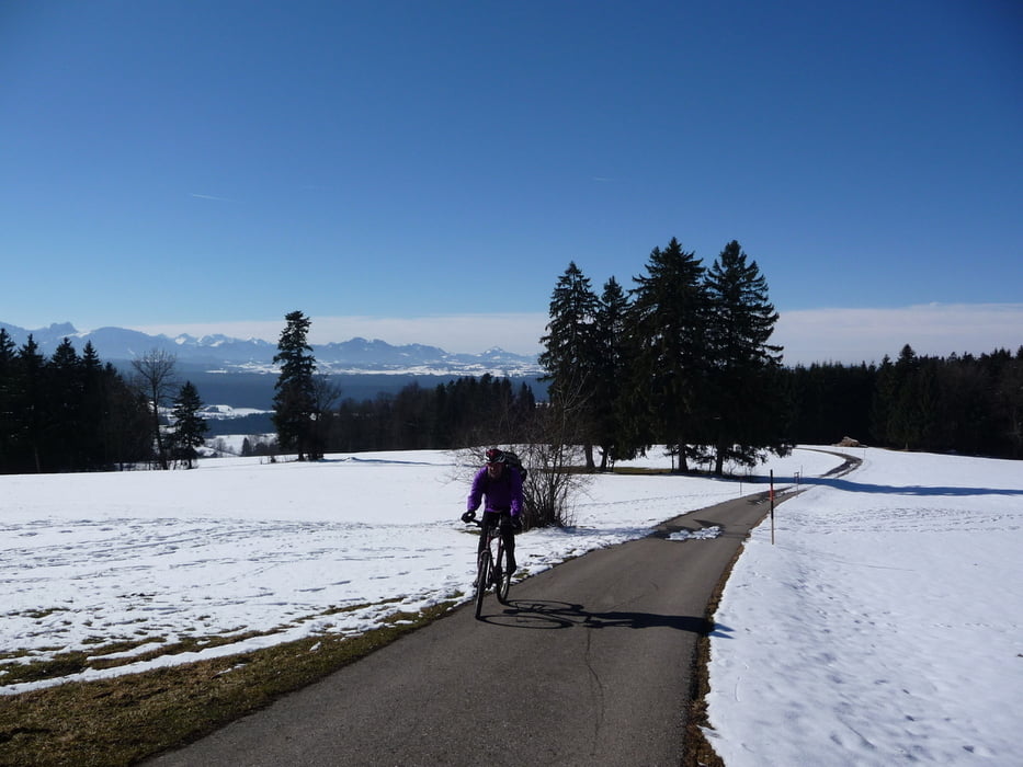
Dies ist die aktuelle Strecke vom mtb-auerberg-marathon 2011. Die Strecke wurde im Bereich Hornerin ( Wald bei B12 nach 17 % er ) aus jagdpächterischen Gründen und der damit verbundenen Verbesserung zur weidmännischen Bevölkerung geändert.
Strecke wurde am 22. 02.2011 bei eisigem,schneeigem,matischigem,schlammigem und manchmal auch trockenem Untergrund befahren für ca 1:30 h auch beschoben. Machbar nur mit Spikes; aber nicht mehr lange;-))
Auf ein Neues am 08.Mai zum Race !
Euer Streckenchef
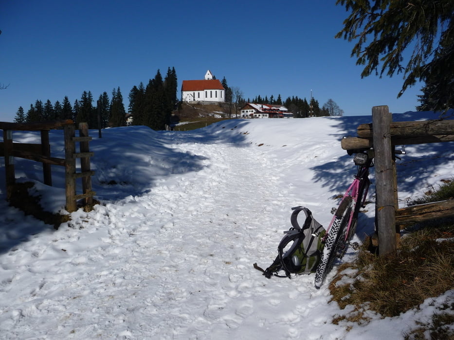
ACHTUNG STRECKENÄNDERUNG. Im 6 Pfarrwald nach Steigung im Wald scharf rechts vor Baumsperre wegen Wegebau. Forstweg folge Richtung RIEDHOF. Vor Brücke rechts hinauf nach ECHT dem PRÄLATENWEG folgen, durch Ortschaft ECHT danach ca 300 m auf Teerstraße danach scharf rechts hinauf nach SETTELE dem alte Track folgen.
Galerija izletov

Zemljevid in višinski profil izleta
Minimum height 669 m
Maximum height 1060 m
More about the tour author

|
heza0405 |
Komentarji

Poti GPS
Trackpoints-
GPX / Garmin Map Source (gpx) download
-
TCX / Garmin Training Center® (tcx) download
-
CRS / Garmin Training Center® (crs) download
-
Google Earth (kml) download
-
G7ToWin (g7t) download
-
TTQV (trk) download
-
Overlay (ovl) download
-
Fugawi (txt) download
-
Kompass (DAV) Track (tk) download
-
List z izleti (pdf) download
-
Original file of the author (gpx) download
More about the tour author
|
|
heza0405 |
Add to my favorites
Remove from my favorites
Edit tags
Open track
My score
Rate