Login

Si pozabil/a podatke za prijavo?

Cookies have to be accepted!
Your browser's cookie functionality is disabled. Please enable this functionality.

Not a member yet?

Register now
Login

Available for registred users only

Log in to use this feature.

Si pozabil/a podatke za prijavo?

Cookies have to be accepted!
Your browser's cookie functionality is disabled. Please enable this functionality.

Not a member yet?

Register now
Filter
Kategorije
Advanced filters
  • Dolžina (km)
  • Metri nadmorske višine
Shrani filter Reset filter

TrackRank

QRCode

Technical data

Dolžina13,1 km Metri nadmorske višine335 m Way down330 m Trajanje04:12 h:m Datum01.03.2011
Ocene Author Pokrajina Dejavnik zabave Kondicija Tehnika

Statistika

3134 Pogledi Ocene 100 Prenosi Povprečje
Rate
  • List z izleti
  • Prihod
  • Prenosi
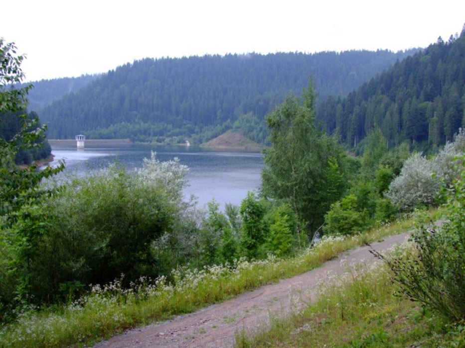
Ca. 1km unterhalb der Talsperre befinden sich Parkmöglichkeiten. Im GPX-File sind die Wegpunkte entsprechend dargestellt. Die Wanderung selbst führt auf gut ausgebauten, befestigten Wegen durch das Waldgebiet rund um die Talsperre. Aussichtspunkte sind vorhanden. Unsere Wanderung hat gut 4 Stunden gedauert, wir haben aber recht viel Pausen eingelegt und die Landschaft genossen...

Galerija izletov

Zemljevid in višinski profil izleta

  • Open Street Map
  • Google
Minimum height 531 m Maximum height 671 m Prikaz podrobnosti

More about the tour author

DL1ARK
Member since 2008

Send private message

Komentarji

über Alpirstadt, Reinerzau

Poti GPS

Trackpoints
  • GPX / Garmin Map Source (gpx) download
  • TCX / Garmin Training Center® (tcx) download
  • CRS / Garmin Training Center® (crs) download
  • Google Earth (kml) download
  • G7ToWin (g7t) download
  • TTQV (trk) download
  • Overlay (ovl) download
  • Fugawi (txt) download
  • Kompass (DAV) Track (tk) download
  • List z izleti (pdf) download
  • Original file of the author (gpx) download

More about the tour author

DL1ARK
Member since 2008

Send private message
Share track
Add to my favorites
Remove from my favorites
Edit tags
My score
Rate
Izlet: Stausee "Kleine Kinzig" Rundweg
Vrsta: Pešačenje
Dolžina: 13,1 km
Evaluated on:
Trajanje:
Day(s)
Hour(s)
Minute(s)
Ocena: Pokrajina Dejavnik zabave Kondicija Tehnika