
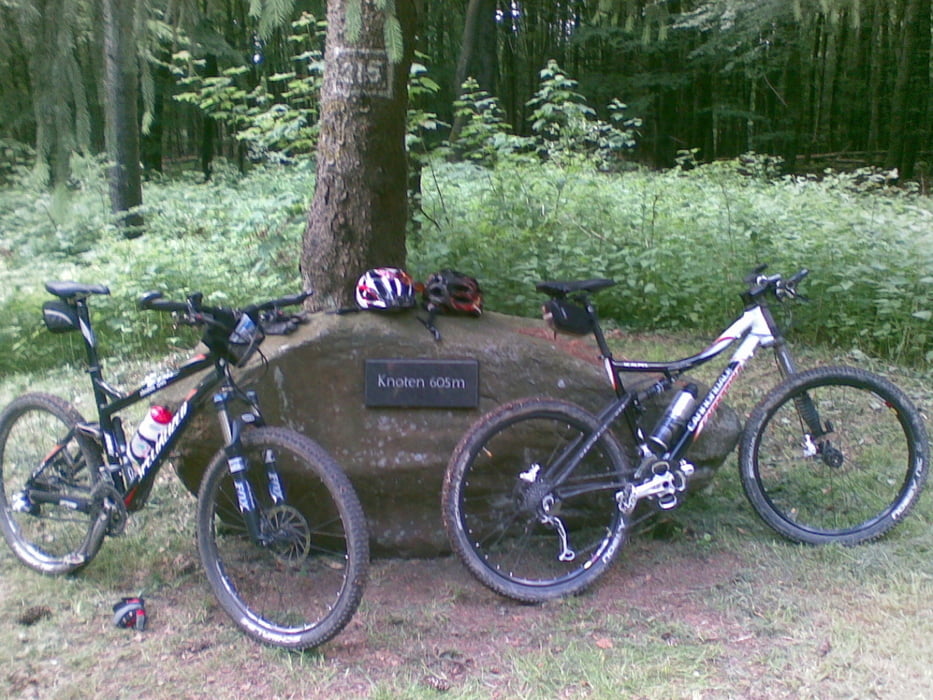

Start der Tour ist in Winkels am Escherweg, weiter geht es zum Waldsee von dort auf Wald und Forstwegen und einem flowigen Trail zum Sauerborn Dillhausen. Nun geht es hinauf Richtung Sportplatz Dillhausen dann wieder hinunter über die Sauerbornmühle bei Nenderoth. Wir kreuzen kurz die Strasse und biegen am Schützenhaus Nenderoth wieder auf Waldwegen hinauf zum Wasserfall. Weiter geht es nach Arborn. Kurz die Strassen passieren am Friedhof zum Skilift Arborn. Nun beginnt der Aufstieg zum Knoten über das Adolf-Weiß-Denkmal. Hinter dem Denkmal führt ein schöner Singel Trail hinauf zum Knoten dem höchsten Punkt der Tour. Nun eine rassante Abfahrt vorbei am Schützenhaus Mengerskirchen führt der Weg weiter über den Rübel zum Zielpunkt am Feuerwehrhaus in Winkels
Zemljevid in višinski profil izleta
Minimum height 274 m
Maximum height 621 m
More about the tour author
|
|
Winkels-MTB |
Komentarji

Poti GPS
Trackpoints-
GPX / Garmin Map Source (gpx) download
-
TCX / Garmin Training Center® (tcx) download
-
CRS / Garmin Training Center® (crs) download
-
Google Earth (kml) download
-
G7ToWin (g7t) download
-
TTQV (trk) download
-
Overlay (ovl) download
-
Fugawi (txt) download
-
Kompass (DAV) Track (tk) download
-
List z izleti (pdf) download
-
Original file of the author (gpx) download
More about the tour author
|
|
Winkels-MTB |
Add to my favorites
Remove from my favorites
Edit tags
Open track
My score
Rate