Login

Si pozabil/a podatke za prijavo?

Cookies have to be accepted!
Your browser's cookie functionality is disabled. Please enable this functionality.

Not a member yet?

Register now
Login

Available for registred users only

Log in to use this feature.

Si pozabil/a podatke za prijavo?

Cookies have to be accepted!
Your browser's cookie functionality is disabled. Please enable this functionality.

Not a member yet?

Register now
Filter
Kategorije
Advanced filters
  • Dolžina (km)
  • Metri nadmorske višine
Shrani filter Reset filter

TrackRank

QRCode

Technical data

Dolžina11,6 km Metri nadmorske višine308 m Way down301 m Trajanje03:30 h:m Datum09.03.2011
Ocene Author Pokrajina Dejavnik zabave Kondicija Tehnika

Statistika

397 Pogledi Ocene 38 Prenosi Povprečje
Rate
  • List z izleti
  • Prihod
  • Prenosi

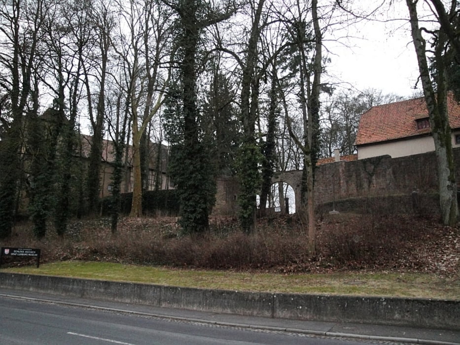
Der Weg führt vom Parkplatz Schloss Aschach durch den Wald nach Frauenroth ein Stück entlang des Hochrhöners bis zum Roten Kreuz und wieder zurück nach Aschach.

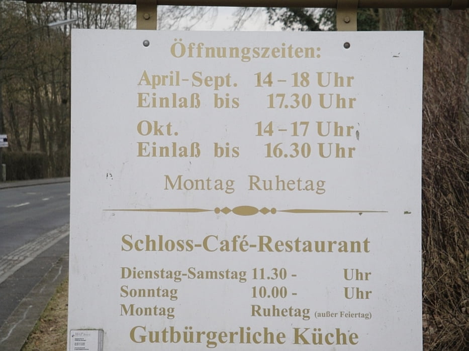
Einkehrmöglichkeit in Aschach im Schlosscafe (Öffnungszeiten siehe Bild)

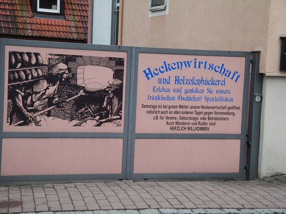
oder Samstags bei schönem Wetter in der "Öschicher Heckenwirtschaft"


Die Wanderung ist ausführlich beschrieben in dem Wanderführer Rhön Rundwege - Südrhön und Lauertal erschienen im Dehler Verlag

ISBN 978-3-9813032-4-7

Galerija izletov

Zemljevid in višinski profil izleta

  • Open Street Map
  • Google
Minimum height 165 m Maximum height 434 m Prikaz podrobnosti

More about the tour author

oboe-kg
Member since 2008

Send private message

Komentarji

maffy on 22.05.2012

GPX Daten?

Bitte bereinige mal die GPS Daten und lade die neu hoch.

O.K hab die Daten bereinigt. Sorry

Poti GPS

Trackpoints
  • GPX / Garmin Map Source (gpx) download
  • TCX / Garmin Training Center® (tcx) download
  • CRS / Garmin Training Center® (crs) download
  • Google Earth (kml) download
  • G7ToWin (g7t) download
  • TTQV (trk) download
  • Overlay (ovl) download
  • Fugawi (txt) download
  • Kompass (DAV) Track (tk) download
  • List z izleti (pdf) download
  • Original file of the author (gpx) download

More about the tour author

oboe-kg
Member since 2008

Send private message
Share track
Add to my favorites
Remove from my favorites
Edit tags
My score
Rate
Izlet: Rhön Rundweg Bad Bocklet Nr 4
Vrsta: Pešačenje
Dolžina: 11,6 km
Evaluated on:
Trajanje:
Day(s)
Hour(s)
Minute(s)
Ocena: Pokrajina Dejavnik zabave Kondicija Tehnika