


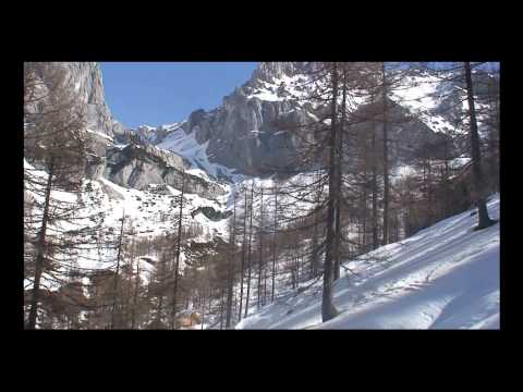
Eine traumhafte Wanderung vor dem Dachstein- Massiv von der Türlwand aus.
An der Dachstein- Talstation rechts vorbei und dem Weg "6" mit wenig Auf und Ab zur "Austria- Hütte" folgen. An dieser links vorbei und nach rechts stetig abwärts zur Brandalm. Da im Winter der Weg "615" trotz Wegweisers nicht zu finden war, links an Hütte vorbei. Auf bequemem Weg eben dahin, an scharfer Kurve links ab: "Glösalm". Es geht meist abwärts; bei mehreren Holzpfählen bei Baumgruppe rechts ab zur Dachstein- Mautstraße. Kurz vor dieser wieder rechts, neben der Abfahrtspiste zur "Walcheralm" aufsteigen; wir queren die Piste und gehen den Weg "6" zur Türlwand hinauf.
Galerija izletov


Zemljevid in višinski profil izleta
Minimum height 1479 m
Maximum height 1686 m
More about the tour author
|
|
heinz-57 |
Komentarji

Google Earth: 47°27'0.62"N / 13°37'2.50"E
Von Ramsau- Ort Richtung Filzmoos am Ortsteil "Schildlehen" rechts ab die Mautstraße bis zur Türlwand (Talstation Dachatein- Seilbanhn)
Poti GPS
Trackpoints-
GPX / Garmin Map Source (gpx) download
-
TCX / Garmin Training Center® (tcx) download
-
CRS / Garmin Training Center® (crs) download
-
Google Earth (kml) download
-
G7ToWin (g7t) download
-
TTQV (trk) download
-
Overlay (ovl) download
-
Fugawi (txt) download
-
Kompass (DAV) Track (tk) download
-
List z izleti (pdf) download
-
Original file of the author (gpx) download
More about the tour author
|
|
heinz-57 |
Add to my favorites
Remove from my favorites
Edit tags
Open track
My score
Rate