Login

Si pozabil/a podatke za prijavo?

Cookies have to be accepted!
Your browser's cookie functionality is disabled. Please enable this functionality.

Not a member yet?

Register now
Login

Available for registred users only

Log in to use this feature.

Si pozabil/a podatke za prijavo?

Cookies have to be accepted!
Your browser's cookie functionality is disabled. Please enable this functionality.

Not a member yet?

Register now
Filter
Kategorije
Advanced filters
  • Dolžina (km)
  • Metri nadmorske višine
Shrani filter Reset filter

TrackRank

QRCode

Technical data

Dolžina65,3 km Metri nadmorske višine1013 m Way down1009 m Trajanje03:02 h:m Datum20.03.2011
Ocene Author Pokrajina Dejavnik zabave Kondicija Tehnika

Statistika

268 Pogledi Ocene 18 Prenosi Povprečje
Rate
  • List z izleti
  • Prihod
  • Prenosi

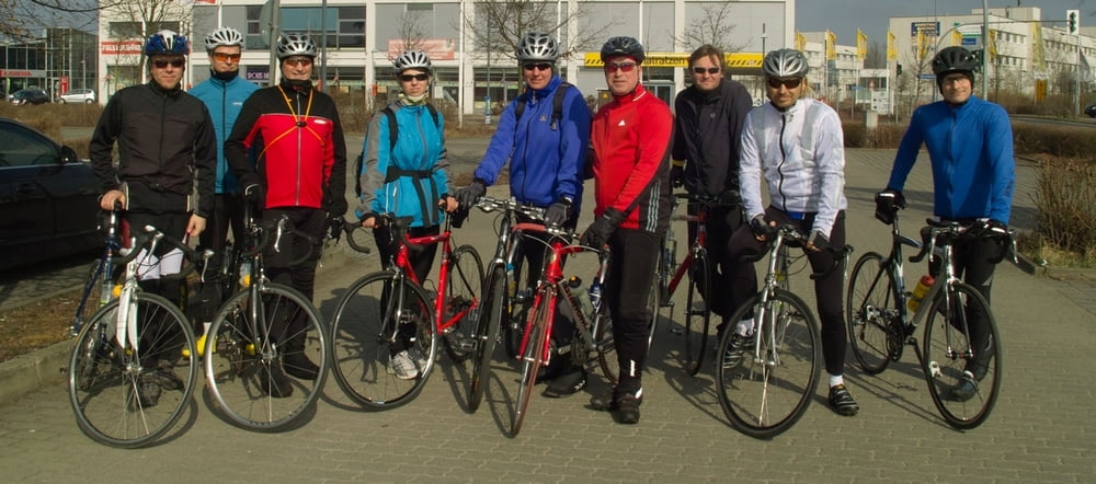
Hier könnt Ihr sehen, wie wir uns auf die zukünftigen Rennen vorbereitet haben.

Die Höhenangeben sind leider nicht richtig. Da hat das Gerät eine kleine Schwäche.

Zemljevid in višinski profil izleta

  • Open Street Map
  • Google
Minimum height 64 m Maximum height 561 m Prikaz podrobnosti

More about the tour author

hartmutbauer
Member since 2009

Send private message

Komentarji

Poti GPS

Trackpoints
  • GPX / Garmin Map Source (gpx) download
  • TCX / Garmin Training Center® (tcx) download
  • CRS / Garmin Training Center® (crs) download
  • Google Earth (kml) download
  • G7ToWin (g7t) download
  • TTQV (trk) download
  • Overlay (ovl) download
  • Fugawi (txt) download
  • Kompass (DAV) Track (tk) download
  • List z izleti (pdf) download
  • Original file of the author (gpx) download

More about the tour author

hartmutbauer
Member since 2009

Send private message
Share track
Add to my favorites
Remove from my favorites
Edit tags
My score
Rate
Izlet: Anradeln im kalten März
Vrsta: Dirkalno kolo
Dolžina: 65,3 km
Evaluated on:
Trajanje:
Day(s)
Hour(s)
Minute(s)
Ocena: Pokrajina Dejavnik zabave Kondicija Tehnika