


Hallo Biker!
Wie so oft ist dies eine Rundtour, und man kann überall auf der Strecke einsteigen.
Ich starte in Oberndorf (Bad Laasphe)
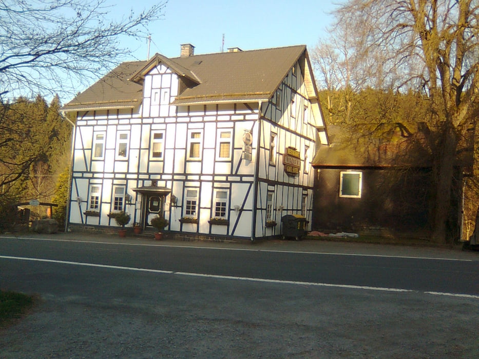
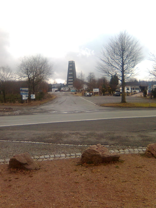
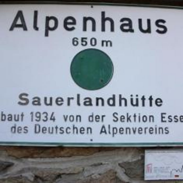
Es geht über die Oberndorfer Dell nach Erndtebrück, entlang Birkelbach, durch's Schwarzbachtal zum RWT.Von dort weiter zum Alpenhaus.etwa 200 meter davor biegen wir links ab in Richtung Schwartmecke, bis in's Schöne Dorf Oberhundem.
Weiter über Rinsecke erklimmen wir wieder etliche Höhenmeter auf verzwickten Pfaden bis zur Heinsberger Heide.Dann über die Ferndorfquelle zum Altenteich, eben noch den vorletzten Anstieg hinauf zum Seebachsweiher, Ludwigseck, Lahntalschanze zurück zum Ausgangspunkt.
Viel Spass
Galerija izletov
Zemljevid in višinski profil izleta
Minimum height 389 m
Maximum height 694 m
More about the tour author
|
|
Yetie |
Komentarji

Parken kann man hervorragend in Bad Laasphe Oberndorf an der Kirche.
Poti GPS
Trackpoints-
GPX / Garmin Map Source (gpx) download
-
TCX / Garmin Training Center® (tcx) download
-
CRS / Garmin Training Center® (crs) download
-
Google Earth (kml) download
-
G7ToWin (g7t) download
-
TTQV (trk) download
-
Overlay (ovl) download
-
Fugawi (txt) download
-
Kompass (DAV) Track (tk) download
-
List z izleti (pdf) download
-
Original file of the author (gpx) download
More about the tour author
|
|
Yetie |
Add to my favorites
Remove from my favorites
Edit tags
Open track
My score
Rate