
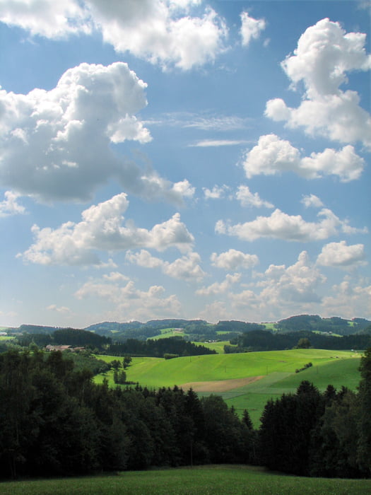

Schöne Tour durch die Mühlviertler Hügelwelt!
"Mühel" ist ein altes Wort für Hügel, vermutlich keltischen Ursprungs. Diese Route führt durch die Mühlviertler Hügelwelt und das Tal der Großen Mühl.
Ausgangspunkt dieser Tour ist beim Gemeindeamt in Berg bei Rohrbach.
Weg Nr. 810
Fordern Sie unsere Radkarte um EUR 3,00 hier an: info@boehmerwald.at!
Oder rufen Sie uns einfach an: Infotelefon +43 5 7890 100.
NEU - Elektrobikes im Verleih von Mai bis Oktober!
Further information at
http://www.boehmerwald.atZemljevid in višinski profil izleta
Minimum height 471 m
Maximum height 641 m
More about the tour author
|
|
aigen-schlaegl |
Komentarji

Mit dem Auto
ab Linz: B127 bis Rohrbach - Bahnhof Berg
ab Passau: Grenzübergang Breitenberg - Klaffer - Ulrichsberg - Aigen im Mühlkreis - Öpping - Rohrbach/Berg
ab Tschechien: Grenzübergang Zadni Zvonkova/Schöneben - Ulrichsberg - Aigen im Mühlkreis - Öpping - Rohrbach/Berg
Mit der Bahn ab Linz-Mühlkreisbahnhof bis Bhf Aigen-Schlägl http://www.oebb.at
Mit dem Bus http://www.oebb.at
Poti GPS
Trackpoints-
GPX / Garmin Map Source (gpx) download
-
TCX / Garmin Training Center® (tcx) download
-
CRS / Garmin Training Center® (crs) download
-
Google Earth (kml) download
-
G7ToWin (g7t) download
-
TTQV (trk) download
-
Overlay (ovl) download
-
Fugawi (txt) download
-
Kompass (DAV) Track (tk) download
-
List z izleti (pdf) download
-
Original file of the author (gpx) download
More about the tour author
|
|
aigen-schlaegl |
Add to my favorites
Remove from my favorites
Edit tags
Open track
My score
Rate