Login

Si pozabil/a podatke za prijavo?

Cookies have to be accepted!
Your browser's cookie functionality is disabled. Please enable this functionality.

Not a member yet?

Register now
Login

Available for registred users only

Log in to use this feature.

Si pozabil/a podatke za prijavo?

Cookies have to be accepted!
Your browser's cookie functionality is disabled. Please enable this functionality.

Not a member yet?

Register now
Filter
Kategorije
Advanced filters
  • Dolžina (km)
  • Metri nadmorske višine
Shrani filter Reset filter

TrackRank

QRCode

Technical data

Dolžina32,9 km Metri nadmorske višine241 m Way down274 m Trajanje00:00 h:m Datum24.04.2011
Ocene Author Pokrajina Dejavnik zabave Kondicija Tehnika

Statistika

160 Pogledi 1 Ocena 24 Prenosi 1.00 Povprečje
Rate
  • List z izleti
  • Prihod
  • Prenosi
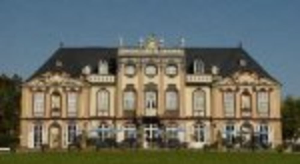
Die Tour führt zum Schloss Molsdorf und im Anschluss zum Waldhaus. Bevor es bergab zurück nach Erfurt geht, kann man hier zünftig Brotzeit machen.

Zemljevid in višinski profil izleta

  • Open Street Map
  • Google
Minimum height 202 m Maximum height 352 m Prikaz podrobnosti

More about the tour author

Zwecke
Member since 2009

Send private message

Komentarji

Die Tour beginnt und endet am Erfurter Hauptbahnhof.

Poti GPS

Trackpoints
  • GPX / Garmin Map Source (gpx) download
  • TCX / Garmin Training Center® (tcx) download
  • CRS / Garmin Training Center® (crs) download
  • Google Earth (kml) download
  • G7ToWin (g7t) download
  • TTQV (trk) download
  • Overlay (ovl) download
  • Fugawi (txt) download
  • Kompass (DAV) Track (tk) download
  • List z izleti (pdf) download
  • Original file of the author (gpx) download

More about the tour author

Zwecke
Member since 2009

Send private message
Share track
Add to my favorites
Remove from my favorites
Edit tags
My score
Rate
Izlet: Zum Schloss Molsdorf
Vrsta: Gorsko kolo
Dolžina: 32,9 km
Evaluated on:
Trajanje:
Day(s)
Hour(s)
Minute(s)
Ocena: Pokrajina Dejavnik zabave Kondicija Tehnika