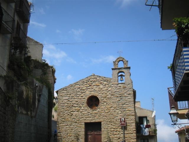
Vom Campingplatz geht es zuerst durch Cefalu. Hinter der Halbinsel La Kalura fährt man dann auf einer wenig befahrenen Küstenstraße bis kurz vor Finale. Dort beginnt dann der Anstieg auf Asphaltstraßen, immer steiler werdend bis zu dem Bergdorf Pollina. Von dort bietet sich ein fantastischer Ausblick in den Naturpark Madonie. Runter geht es dann teils auf Asphalt und teils auf Forstwegen, bis man die Küstenstraße wieder erreicht und auf dem Anfahrtsweg zurückrollt.
Galerija izletov
Zemljevid in višinski profil izleta
Minimum height 3 m
Maximum height 760 m
Komentarji

Start ist am Campingplatz Costa Ponente, ca. zwei Kilometer westlich von Cefalu.
Poti GPS
Trackpoints-
GPX / Garmin Map Source (gpx) download
-
TCX / Garmin Training Center® (tcx) download
-
CRS / Garmin Training Center® (crs) download
-
Google Earth (kml) download
-
G7ToWin (g7t) download
-
TTQV (trk) download
-
Overlay (ovl) download
-
Fugawi (txt) download
-
Kompass (DAV) Track (tk) download
-
List z izleti (pdf) download
-
Original file of the author (gpx) download
Add to my favorites
Remove from my favorites
Edit tags
Open track
My score
Rate


