


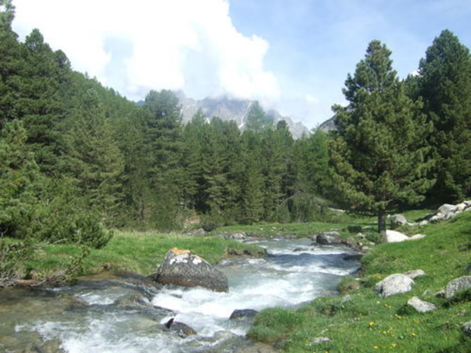
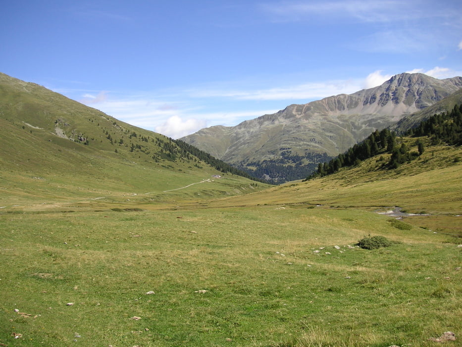
Von der Schweizer Grenze geht es erst entlang der 27 Richtung Scuol. Nach etwa 8km kann man die Strasse wieder verlassen und abseits über Wege fahren. Ab Scoul geht es dann aufwärts in den Schweizer Nationalpark. Erst auf der Strasse. Ab dem Museum dann auf einem Schotter Weg der bis 2300m zum Pass geht. Eine Traumlandschaft erwartet einen hier. Über viele km geht es sanft Bergauf. Der Tag endet am Ofenpass.
Für Fotos einfach mal in Google Earth schauen
Galerija izletov
Zemljevid in višinski profil izleta
Minimum height 952 m
Maximum height 2257 m
More about the tour author
|
|
flachlandschieber |
Komentarji

Pfunds in Österreich bietet viele Übernachtungsmöglichkeiten die direkt auf der Strecke liegen. Alternativ auch Scuol. Am Ofenpass gibt es drei Hotels. Das eine liegt direkt an der Buffalora, das zweite 200 hm unterhalb Richtung Zerenz (Il Fuom) und das dritte bei der Abfahrt noch oberhalb vom Ofenpass.
Poti GPS
Trackpoints-
GPX / Garmin Map Source (gpx) download
-
TCX / Garmin Training Center® (tcx) download
-
CRS / Garmin Training Center® (crs) download
-
Google Earth (kml) download
-
G7ToWin (g7t) download
-
TTQV (trk) download
-
Overlay (ovl) download
-
Fugawi (txt) download
-
Kompass (DAV) Track (tk) download
-
List z izleti (pdf) download
-
Original file of the author (gpx) download
More about the tour author
|
|
flachlandschieber |
Add to my favorites
Remove from my favorites
Edit tags
Open track
My score
Rate