
")

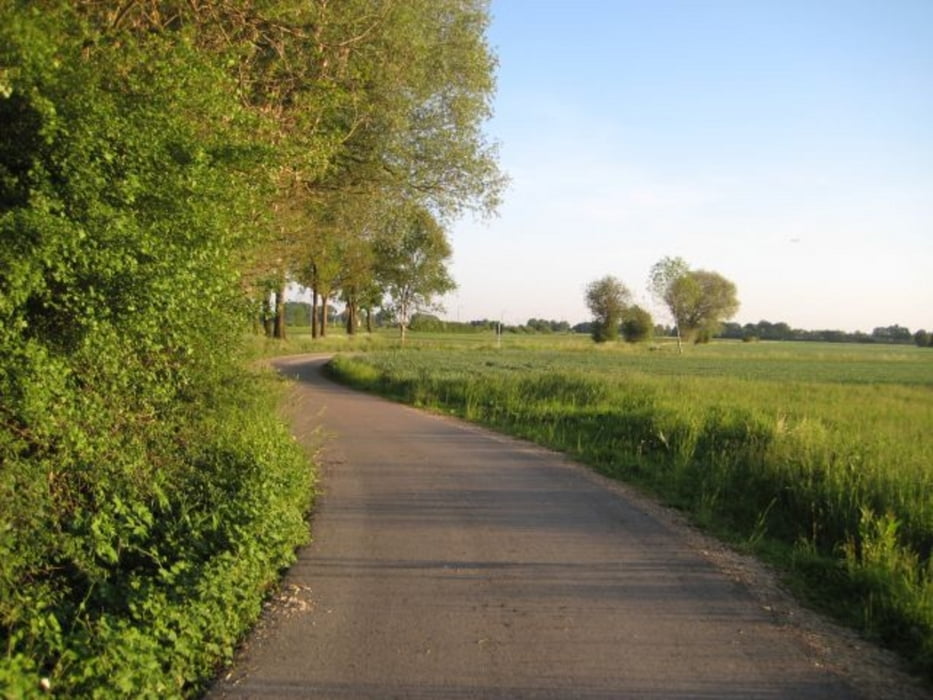
Vom Freisinger Marienplatz aus fährt man über Pulling und Achering zum Isarradweg, der am Besten auf der ruhigeren rechten Uferseite bis Freising befahren wird. Von der Korbiniansbrücke aus geht es weiter zur Stoibermühle und nach Marzling, von dort an den Bahngleisen entlang nach Freising.
Es ist eine harmlose, aber doch vergleichsweise abwechslungsreiche kleine Tour, gerade recht für einen angebrochenen Nachmittag. Steigungen, bis auf ein paar Brücken, sind nicht zu befürchten. Am Pullinger Weiher und an der Stoibermühle (Biergarten) besteht die Möglichkeit zu baden.
Bis auf die Isarstrecke fährt man auf Asphalt. Die kleine Tour ist auch für sattelfeste Kinder geeignet.
Further information at
http://de.wikipedia.org/wiki/Filialkirche_St._Peter_und_Paul_%28Achering%29Galerija izletov

Zemljevid in višinski profil izleta
Minimum height 407 m
Maximum height 469 m
More about the tour author

|
freisnger |
Komentarji

Poti GPS
Trackpoints-
GPX / Garmin Map Source (gpx) download
-
TCX / Garmin Training Center® (tcx) download
-
CRS / Garmin Training Center® (crs) download
-
Google Earth (kml) download
-
G7ToWin (g7t) download
-
TTQV (trk) download
-
Overlay (ovl) download
-
Fugawi (txt) download
-
Kompass (DAV) Track (tk) download
-
List z izleti (pdf) download
-
Original file of the author (gpx) download
More about the tour author
|
|
freisnger |
Add to my favorites
Remove from my favorites
Edit tags
Open track
My score
Rate