


Am Anfang machte ich den Fehler dass ich an der Straße entlang gelaufen bin. Erst als ich den unsäglichen Campingplatz hinter mir gelassen hatte konnte ich nach Süden abschwenken.
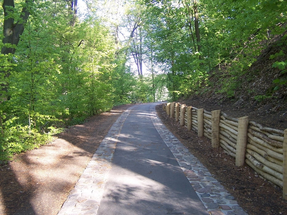
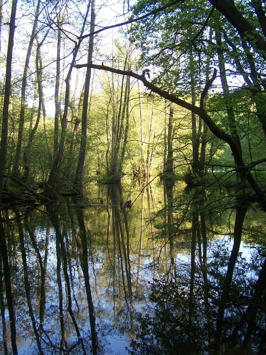
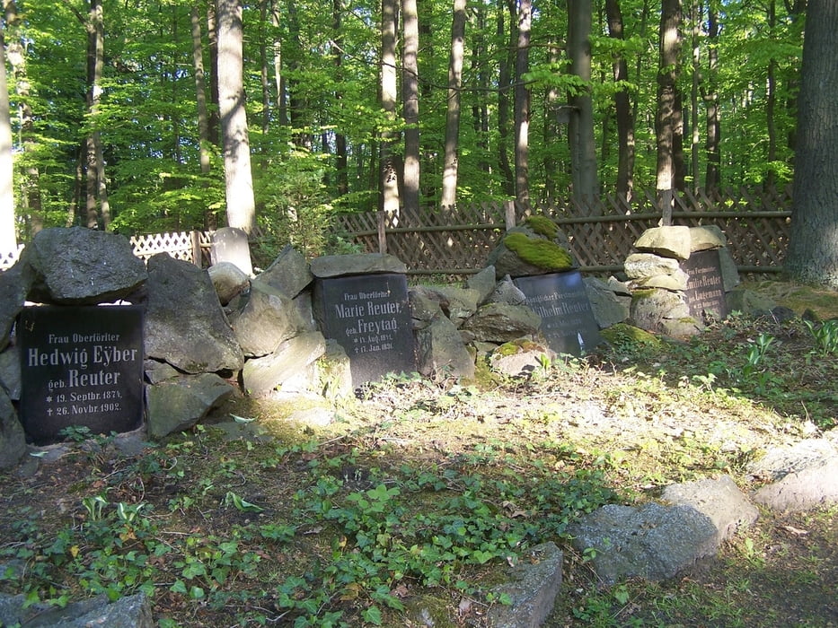
Der Weg setzt sich über Sand und Hügel in einer Schneise fort. Dann habe ich auch noch den See entdeckt. In Siehdichum am Försterfriedhof vorbei und runter zum Wasser. Am Ufer auf einem Radweg der bald eingeweiht wird entlang bis zu der bekannten Brücke über die Schlaube.
Der Rückweg verläuft auf einem schönen Wanderweg bis zum Försterfriedhof. Ab hier auf der Fahrradstraße geradewegs bis zurück zum Parkplatz.
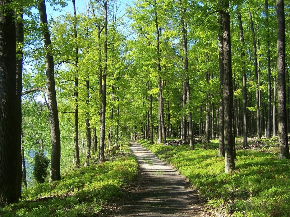
Schöner Weg im Naturpark Schlaubetal.
Further information at
http://de.wikipedia.org/wiki/SiehdichumGalerija izletov
Zemljevid in višinski profil izleta
Minimum height 45 m
Maximum height 80 m
More about the tour author
|
|
Pheinz |
Komentarji

Parkplatz an der Straße bei Kupferhammer
Poti GPS
Trackpoints-
GPX / Garmin Map Source (gpx) download
-
TCX / Garmin Training Center® (tcx) download
-
CRS / Garmin Training Center® (crs) download
-
Google Earth (kml) download
-
G7ToWin (g7t) download
-
TTQV (trk) download
-
Overlay (ovl) download
-
Fugawi (txt) download
-
Kompass (DAV) Track (tk) download
-
List z izleti (pdf) download
-
Original file of the author (gpx) download
More about the tour author
|
|
Pheinz |
Add to my favorites
Remove from my favorites
Edit tags
Open track
My score
Rate