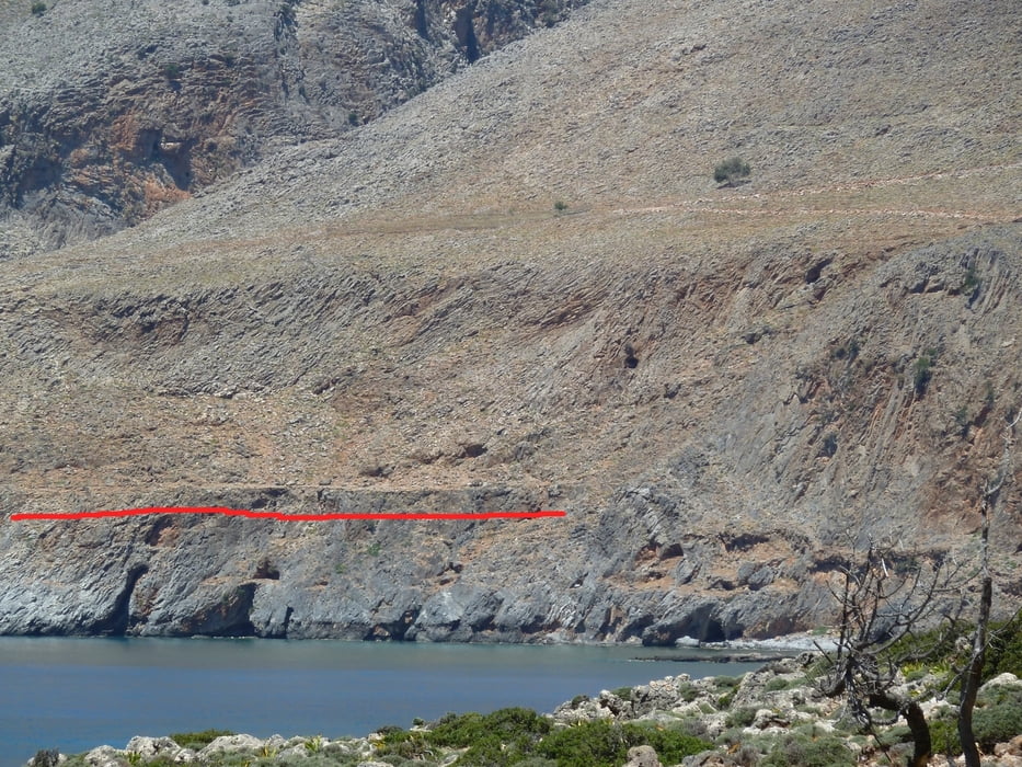
Many guidebooks describe the passage from Loutro to the Marmara-Bay (mouth of the Aradhena gorge) as being a bit "tricky", since this part of the E4 leads over some cliffs and a relatively small ledge some height above the sea.
The track you can download here provides an alternative path for people who want to avoid this passage. The detour costs about 20 minutes of extra time, but it will help hikers who do not want to try the difficult passage.
The track starts on the E4 shortly after Marmara Bay and rejoins the E4 at Finikas Bay (Finix).
Further information at
http://loutro.gr/Galerija izletov
Zemljevid in višinski profil izleta
Komentarji

Poti GPS
Trackpoints-
GPX / Garmin Map Source (gpx) download
-
TCX / Garmin Training Center® (tcx) download
-
CRS / Garmin Training Center® (crs) download
-
Google Earth (kml) download
-
G7ToWin (g7t) download
-
TTQV (trk) download
-
Overlay (ovl) download
-
Fugawi (txt) download
-
Kompass (DAV) Track (tk) download
-
List z izleti (pdf) download
-
Original file of the author (gpx) download


