


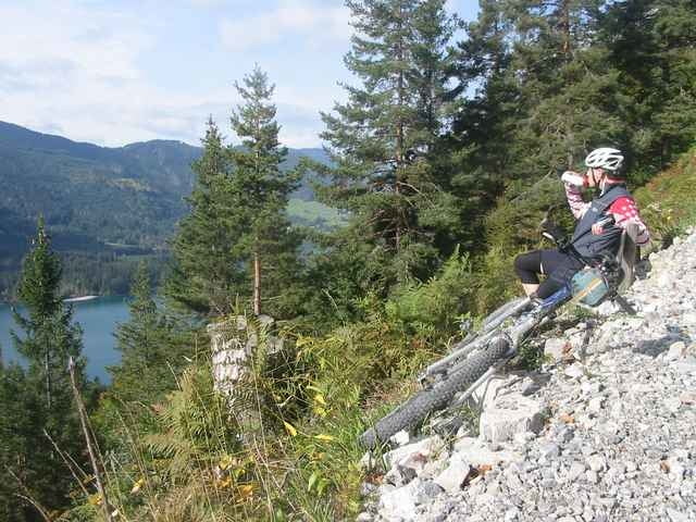
Start ist vor dem Landhotel Die Forelle. Nach einer kurzen Einrollphase auf Asphalt geht es dann auch gleich zur Sache - der steilste Anstieg der Tour gleich vorne weg. Nach steilen 3km geht es dann kopiert bis hin zum Ostufer des Weißensees. Dieser Teilabschnitt wird ist immer wieder mit tollen Tiefblicken auf den Weißensee geschmückt. Auf Asphalt geht es dann durch den Stockenboier - Graben. Via Fischeralm und Bodenalm zurück nach Naggl. Von dort heißt es auf Asphalt locker ausrollen. Viel Spaß!
Further information at
http://www.forellemueller.atGalerija izletov
Zemljevid in višinski profil izleta
Minimum height 894 m
Maximum height 1241 m
More about the tour author

|
forelle |
Komentarji

Via Spittal - Greifenburg - Techendorf - gleich neben der evang. Kirche - Landhotel Die Forelle.
Poti GPS
Trackpoints-
GPX / Garmin Map Source (gpx) download
-
TCX / Garmin Training Center® (tcx) download
-
CRS / Garmin Training Center® (crs) download
-
Google Earth (kml) download
-
G7ToWin (g7t) download
-
TTQV (trk) download
-
Overlay (ovl) download
-
Fugawi (txt) download
-
Kompass (DAV) Track (tk) download
-
List z izleti (pdf) download
-
Original file of the author (g7t) download
More about the tour author
|
|
forelle |
Add to my favorites
Remove from my favorites
Edit tags
Open track
My score
Rate