Login

Si pozabil/a podatke za prijavo?

Cookies have to be accepted!
Your browser's cookie functionality is disabled. Please enable this functionality.

Not a member yet?

Register now
Login

Available for registred users only

Log in to use this feature.

Si pozabil/a podatke za prijavo?

Cookies have to be accepted!
Your browser's cookie functionality is disabled. Please enable this functionality.

Not a member yet?

Register now
Filter
Kategorije
Advanced filters
  • Dolžina (km)
  • Metri nadmorske višine
Shrani filter Reset filter

TrackRank

QRCode

Technical data

Dolžina30,4 km Metri nadmorske višine1315 m Way down1240 m Trajanje00:00 h:m Datum30.05.2011
Ocene Author User Pokrajina Dejavnik zabave Kondicija Tehnika

Statistika

1050 Pogledi 1 Ocena 167 Prenosi 3.00 Povprečje
Rate
  • List z izleti
  • Prihod
  • Prenosi
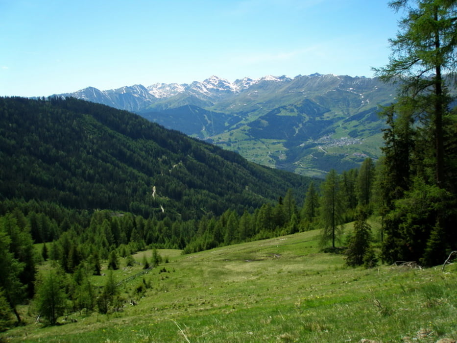
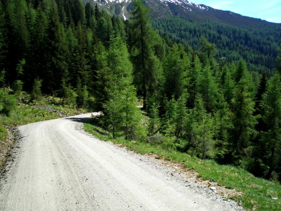
Start in Prutz. Auf der alten Strasse nach Ried. Forstweg Wassertalweg hinauf auf 1900 m zur Bichli-Alm. Weiter zum Sattele (Schigebiet von Fendels) über Burgschrofen zurück nach Prutz.

Galerija izletov

Zemljevid in višinski profil izleta

  • Open Street Map
  • Google
Minimum height 817 m Maximum height 1899 m Prikaz podrobnosti

More about the tour author

simplon73
Member since 2009

Send private message

Komentarji

Poti GPS

Trackpoints
  • GPX / Garmin Map Source (gpx) download
  • TCX / Garmin Training Center® (tcx) download
  • CRS / Garmin Training Center® (crs) download
  • Google Earth (kml) download
  • G7ToWin (g7t) download
  • TTQV (trk) download
  • Overlay (ovl) download
  • Fugawi (txt) download
  • Kompass (DAV) Track (tk) download
  • List z izleti (pdf) download
  • Original file of the author (gpx) download

More about the tour author

simplon73
Member since 2009

Send private message
Share track
Add to my favorites
Remove from my favorites
Edit tags
My score
Rate
Izlet: Bichli-Alm
Vrsta: Gorsko kolo
Dolžina: 30,4 km
Evaluated on:
Trajanje:
Day(s)
Hour(s)
Minute(s)
Ocena: Pokrajina Dejavnik zabave Kondicija Tehnika