

7-Tage-Wanderung über 180 km quer durchs Havelland im Land Brandenburg - von Berlin-Mitte nach Havelberg.
Überwiegend Wald- und Feldwege, aber auch immer wieder viele Kilometer Straße. Abseits leider auch immer wieder Schotter- und Betonpisten (Landwirtschaftswege, Binnendeiche).
Übernachtung in Gasthäusern, Pensionen, Ferienwohnungen - überall problemlos möglich (Preisspanne 15 - 40 EUR).
Tag 3 (Elstal - Bagow) nicht empfehlenswert, Ausnahme das Dorf Tremmen.
Der letzte Tag leider auch fast nur Straße.
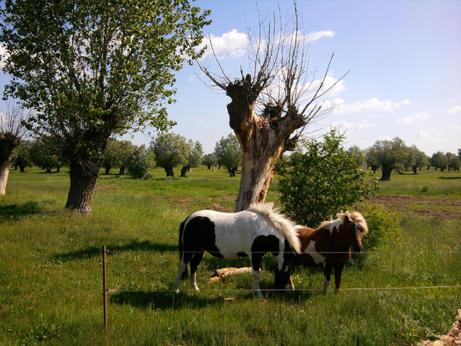
Das westliche Havelland ist landschaftlich sehr reizvoll.
Da es immer flach bleibt, werden keine besonderen Anforderungen an die technische Ausrüstung gestellt. Ebenso ist keine große Kondition erforderlich.
Wegen des vielen Asphalts und Betons nur 3 Sterne beim Spaßfaktor.
Further information at
http://xxrhahn.de/havelland/index.htmlZemljevid in višinski profil izleta
Minimum height -52 m
Maximum height 285 m
More about the tour author

|
xxrhahn |
Komentarji

Anfahrt Berlin: Keine Angabe
Bei Einstieg ins westliche Havelland: z.B. Anreise nach Brandenburg a.d.Havel oder Rathenow.
Rückfahrt ab Havelberg: Bus ab Innenstadt nach Glöwen (1,90 EUR), von dort weiter mit dem Regionalexpress
Poti GPS
Trackpoints-
GPX / Garmin Map Source (gpx) download
-
TCX / Garmin Training Center® (tcx) download
-
CRS / Garmin Training Center® (crs) download
-
Google Earth (kml) download
-
G7ToWin (g7t) download
-
TTQV (trk) download
-
Overlay (ovl) download
-
Fugawi (txt) download
-
Kompass (DAV) Track (tk) download
-
List z izleti (pdf) download
-
Original file of the author (gpx) download
More about the tour author
|
|
xxrhahn |
Add to my favorites
Remove from my favorites
Edit tags
Open track
My score
Rate