


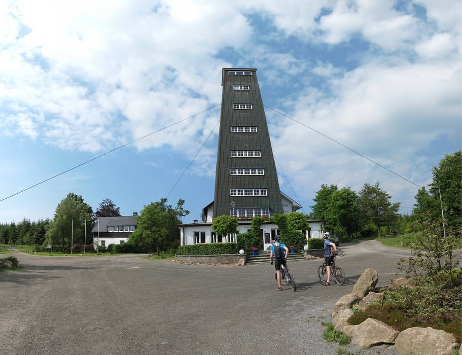
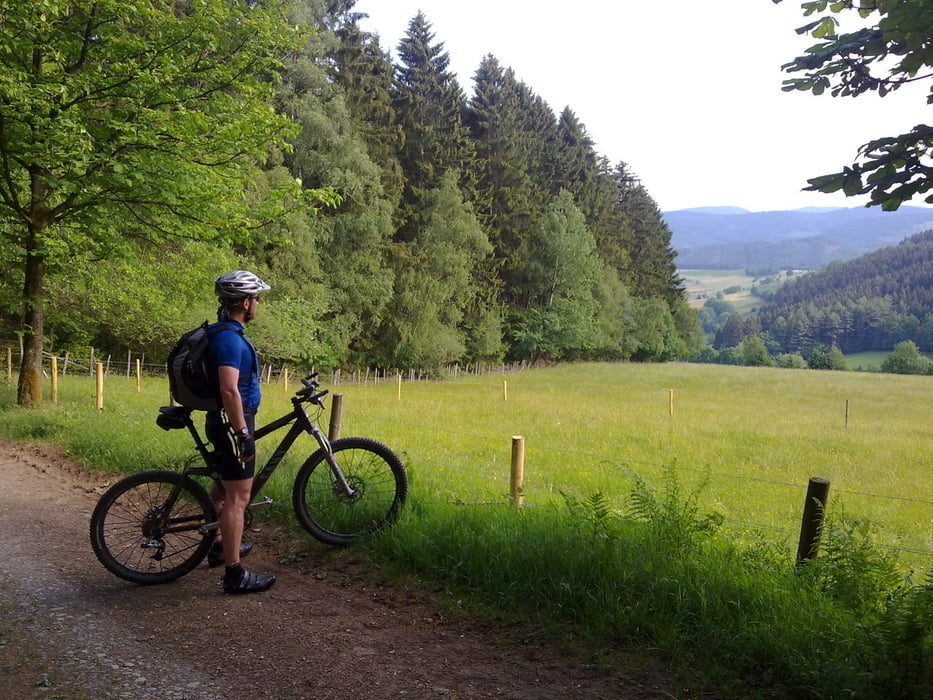
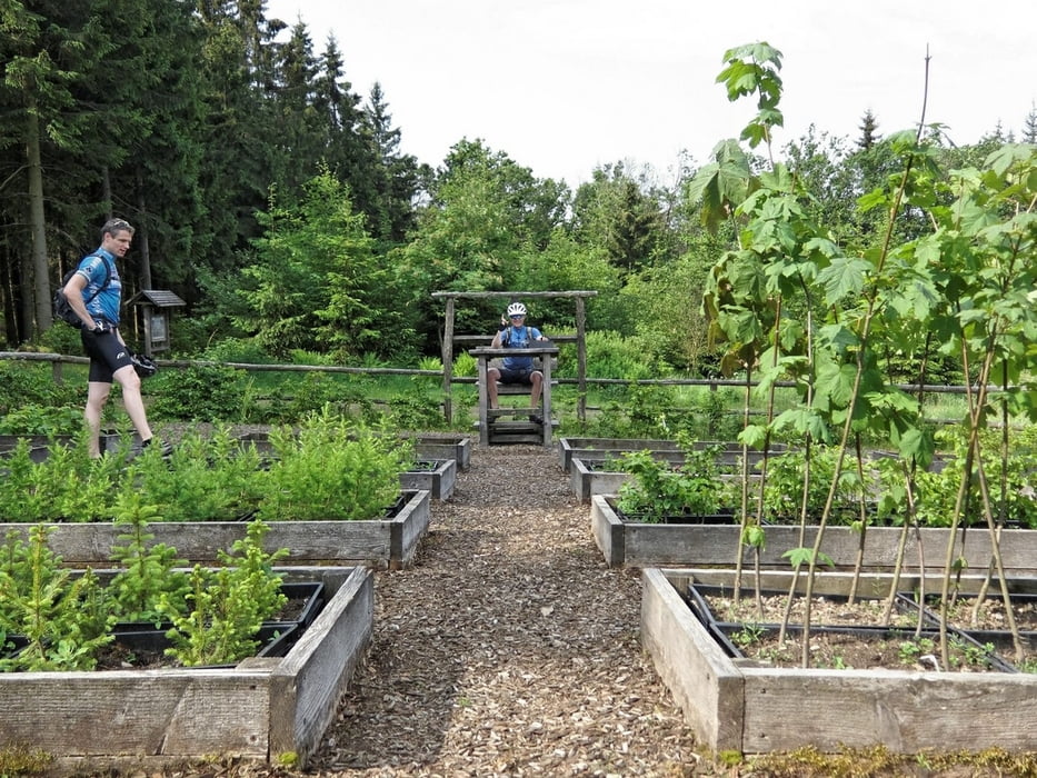
Wir drei haben uns dann erstmal Uphill mäßig Richtung Rhein-Weser-Turm bewegt. Weiter gings an der Baumschule vorbei. Hier musste ich dann als Leherer für Kurt einspringen. Und via Margarethenstein sind wir dann auf den Härdler, mit 752 m der höchste hier in der Ecke, rauf. Bei dem geilen Downhill haben wir noch mal die Fernsicht genossen und sind dann über den Rothaartrail bei den Schwestern vom Schäferhof gelandet. Und du denkst du bist wirklich auf der Alm. Nach einigen kleinen Leckereien und Weissbier gings dann leider wieder zurück. Aber fast nur noch Downhill. Via Sonbornquelle gings zum Margarethenstein dann wieder zum Rhein-Weser-Turm und ab zum berühmten Marmeke-Downhill. Hier kurz durch die Menschenmenge vom Schützenfest und nach einem kleinen Gegenanstieg und Downhill waren wir wieder in Böminghausen. Fertig!
Further information at
http://www.hegibiketours.de/Galerija izletov
Zemljevid in višinski profil izleta
Minimum height 429 m
Maximum height 753 m
More about the tour author
|
|
hegi |
Komentarji

Start in Böminghausen beim Gasthof Schulte
Poti GPS
Trackpoints-
GPX / Garmin Map Source (gpx) download
-
TCX / Garmin Training Center® (tcx) download
-
CRS / Garmin Training Center® (crs) download
-
Google Earth (kml) download
-
G7ToWin (g7t) download
-
TTQV (trk) download
-
Overlay (ovl) download
-
Fugawi (txt) download
-
Kompass (DAV) Track (tk) download
-
List z izleti (pdf) download
-
Original file of the author (gpx) download
More about the tour author
|
|
hegi |
Add to my favorites
Remove from my favorites
Edit tags
Open track
My score
Rate