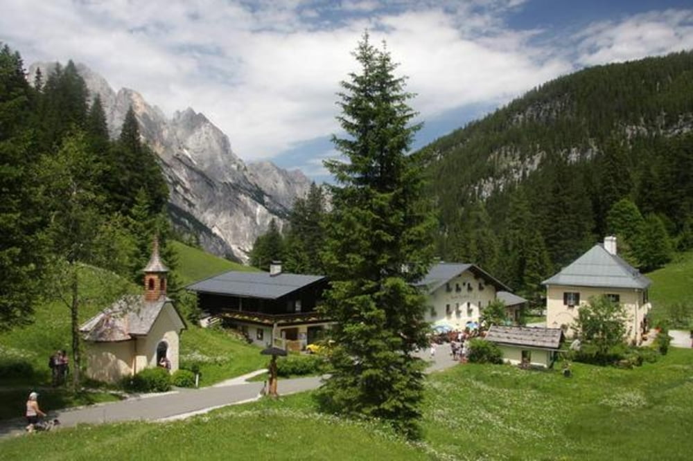
Start ist Unterjettenberg Richtung Bundeswehr Stützpunkt
Runde geht am besten entgegen dem Uhrzeigersinn
Einkehr am Hirschbichl oder Litzlalm oder aber auch am Hintersee
Galerija izletov
Zemljevid in višinski profil izleta
Minimum height 580 m
Maximum height 1313 m
Komentarji
Unterjettenberg zwischen Schneitzlreit und Bad Reichenhall
Poti GPS
Trackpoints-
GPX / Garmin Map Source (gpx) download
-
TCX / Garmin Training Center® (tcx) download
-
CRS / Garmin Training Center® (crs) download
-
Google Earth (kml) download
-
G7ToWin (g7t) download
-
TTQV (trk) download
-
Overlay (ovl) download
-
Fugawi (txt) download
-
Kompass (DAV) Track (tk) download
-
List z izleti (pdf) download
-
Original file of the author (gpx) download
Add to my favorites
Remove from my favorites
Edit tags
Open track
My score
Rate


Tour im April 2012
Tour gefahren