Login

Si pozabil/a podatke za prijavo?

Cookies have to be accepted!
Your browser's cookie functionality is disabled. Please enable this functionality.

Not a member yet?

Register now
Login

Available for registred users only

Log in to use this feature.

Si pozabil/a podatke za prijavo?

Cookies have to be accepted!
Your browser's cookie functionality is disabled. Please enable this functionality.

Not a member yet?

Register now
Filter
Kategorije
Advanced filters
  • Dolžina (km)
  • Metri nadmorske višine
Shrani filter Reset filter

TrackRank

QRCode

Technical data

Dolžina241,2 km Metri nadmorske višine1486 m Way down1488 m Trajanje3 days 0 h Datum14.06.2011
Ocene Author Pokrajina Dejavnik zabave Kondicija Tehnika

Statistika

235 Pogledi Ocene 11 Prenosi Povprečje
Rate
  • List z izleti
  • Prihod
  • Prenosi
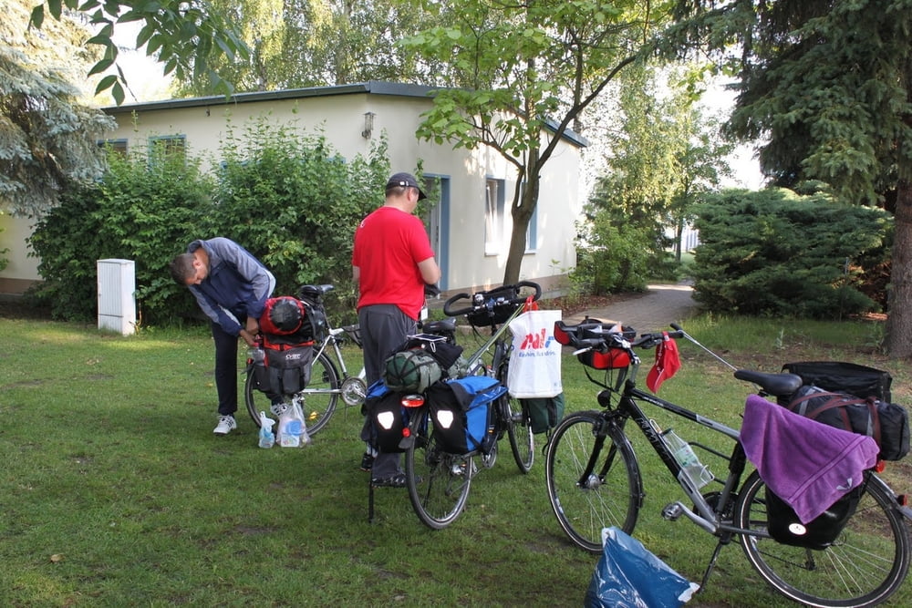
1.Tag      94,9 km    Übernachtung Campingplatz am Löderburger See
2. Tag     54,3 km    Übernachtung Campingplatz am Bremer Teich
3.Tag      92,8 km

Galerija izletov

Zemljevid in višinski profil izleta

  • Open Street Map
  • Google
Minimum height 37 m Maximum height 450 m Prikaz podrobnosti

More about the tour author

ZeitHeiner
Member since 2009

Send private message

Komentarji

Poti GPS

Trackpoints
  • GPX / Garmin Map Source (gpx) download
  • TCX / Garmin Training Center® (tcx) download
  • CRS / Garmin Training Center® (crs) download
  • Google Earth (kml) download
  • G7ToWin (g7t) download
  • TTQV (trk) download
  • Overlay (ovl) download
  • Fugawi (txt) download
  • Kompass (DAV) Track (tk) download
  • List z izleti (pdf) download
  • Original file of the author (gpx) download

More about the tour author

ZeitHeiner
Member since 2009

Send private message
Share track
Add to my favorites
Remove from my favorites
Edit tags
My score
Rate
Izlet: Harz Pfingsten 2011
Vrsta: Treking kolo
Dolžina: 241,2 km
Evaluated on:
Trajanje:
Day(s)
Hour(s)
Minute(s)
Ocena: Pokrajina Dejavnik zabave Kondicija Tehnika