


18.6.2011
Galerija izletov
Zemljevid in višinski profil izleta
Minimum height 550 m
Maximum height 2061 m
More about the tour author
|
|
tmax |
Komentarji
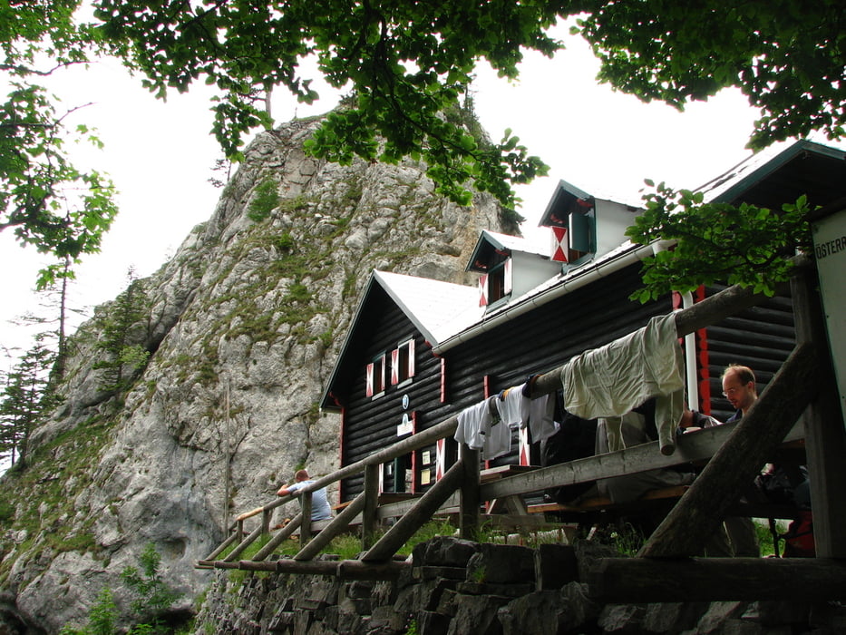
Weichtalhutte
Poti GPS
Trackpoints-
GPX / Garmin Map Source (gpx) download
-
TCX / Garmin Training Center® (tcx) download
-
CRS / Garmin Training Center® (crs) download
-
Google Earth (kml) download
-
G7ToWin (g7t) download
-
TTQV (trk) download
-
Overlay (ovl) download
-
Fugawi (txt) download
-
Kompass (DAV) Track (tk) download
-
List z izleti (pdf) download
-
Original file of the author (gpx) download
More about the tour author
|
|
tmax |
Add to my favorites
Remove from my favorites
Edit tags
Open track
My score
Rate
Wandern?
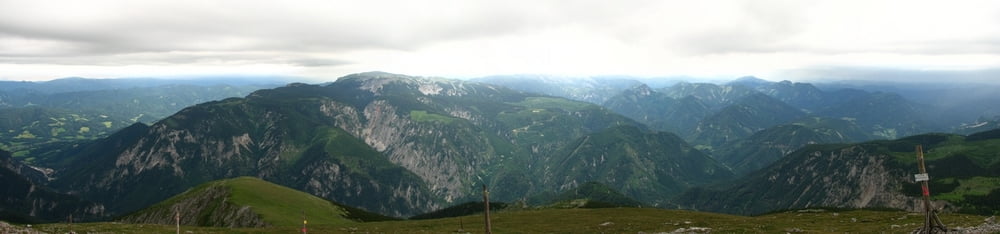
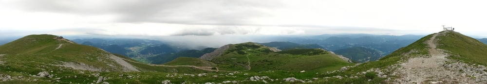
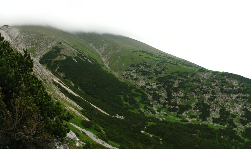
Die Wanderung selbst ist traumhaft, beginnt mit einem Klettersteig (Weichtalschlucht), der nicht ohne ist, bis zu 10Meter hohe Leitern sind neben sehr engen steilen Schluchten zu bezwingen. Weiter geht es am Fadensteig bis zur Fischerhütte der höchste Punkt der Tour, mit herrlicher Aussicht.
Danach der Abstieg der fast ident mit dem Aufstieg ist, allerdings geht es nicht mehr durch die Schlucht sondern wird die Klamm umgangen (könnte man auch für den Aufstieg nützen)
Fazit:
Super Tour, super Anstrengend, rechtzeitig aufbrechen, schwindelfrei sollte man auch noch sein...
answer