Login

Si pozabil/a podatke za prijavo?

Cookies have to be accepted!
Your browser's cookie functionality is disabled. Please enable this functionality.

Not a member yet?

Register now
Login

Available for registred users only

Log in to use this feature.

Si pozabil/a podatke za prijavo?

Cookies have to be accepted!
Your browser's cookie functionality is disabled. Please enable this functionality.

Not a member yet?

Register now
Filter
Kategorije
Advanced filters
  • Dolžina (km)
  • Metri nadmorske višine
Shrani filter Reset filter

TrackRank

QRCode

Technical data

Dolžina11,9 km Metri nadmorske višine448 m Way down449 m Trajanje03:30 h:m Datum17.07.2011
Ocene Author Pokrajina Dejavnik zabave Kondicija Tehnika

Statistika

725 Pogledi Ocene 84 Prenosi Povprečje
Rate
  • List z izleti
  • Prihod
  • Prenosi

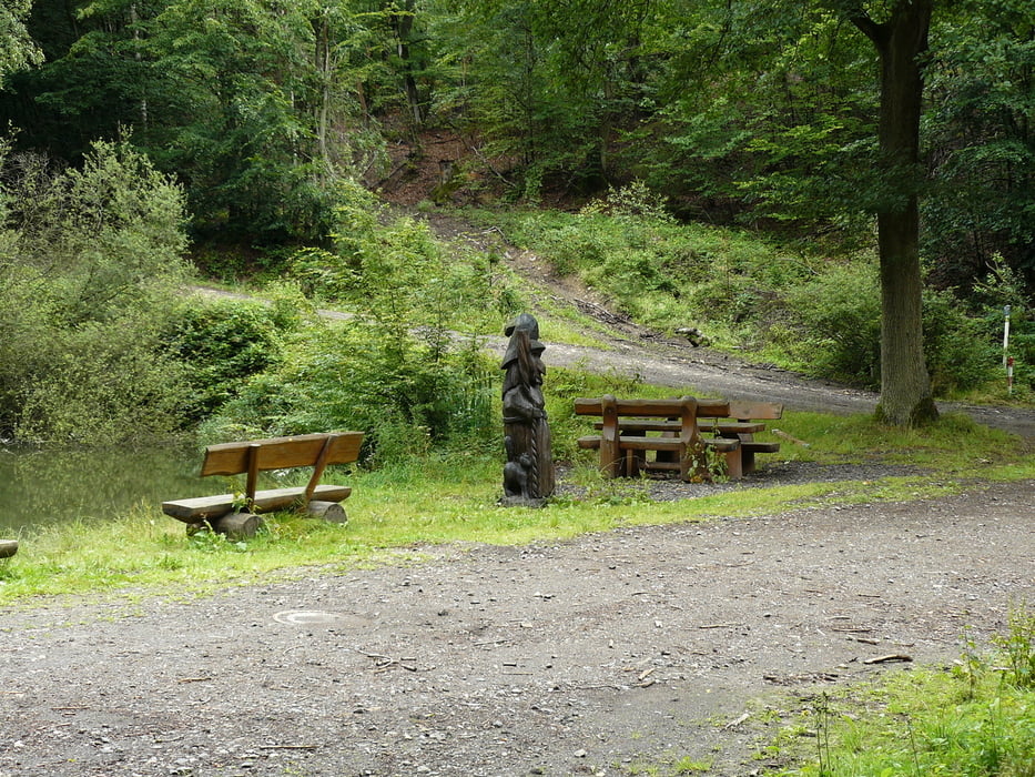
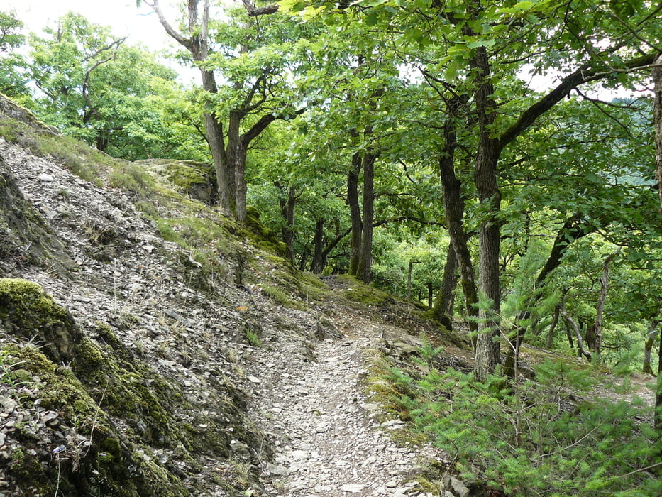
Wege aller Art führen hauptsachlich durch den Wald. Die Steigungen sind relativ steil, teilweise auf sehr schmalen Pfaden, weshalb ich dringend zu festen Schuhwerk rate. Wege haben zeitweise Traumschleifen Carakter. Parken ist an den Stellen wo der Weg die Landstrasse kreuzt möglich.

Eine Wegbeschreibung findet man auch der Seite der Stadt Boppard.

wünsche viel Freude und gutes Wetter

Galerija izletov

Zemljevid in višinski profil izleta

  • Open Street Map
  • Google
Minimum height 118 m Maximum height 451 m Prikaz podrobnosti

More about the tour author

Sonntagswanderer
Member since 2011

Send private message

Komentarji

Poti GPS

Trackpoints
  • GPX / Garmin Map Source (gpx) download
  • TCX / Garmin Training Center® (tcx) download
  • CRS / Garmin Training Center® (crs) download
  • Google Earth (kml) download
  • G7ToWin (g7t) download
  • TTQV (trk) download
  • Overlay (ovl) download
  • Fugawi (txt) download
  • Kompass (DAV) Track (tk) download
  • List z izleti (pdf) download
  • Original file of the author (gpx) download

More about the tour author

Sonntagswanderer
Member since 2011

Send private message
Share track
Add to my favorites
Remove from my favorites
Edit tags
My score
Rate
Izlet: Hexenweg
Vrsta: Pešačenje
Dolžina: 11,9 km
Evaluated on:
Trajanje:
Day(s)
Hour(s)
Minute(s)
Ocena: Pokrajina Dejavnik zabave Kondicija Tehnika