


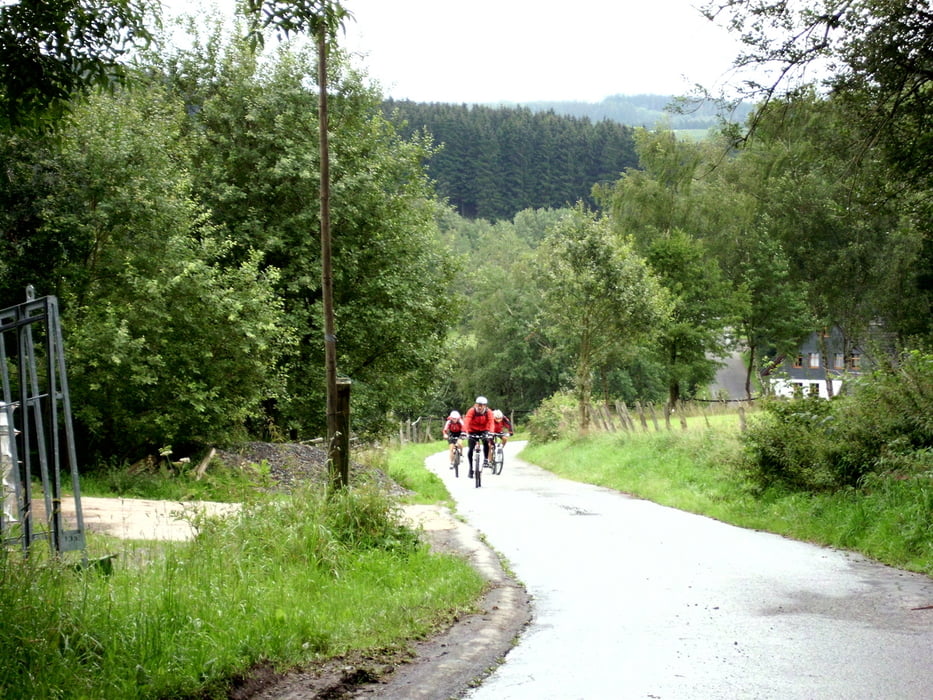
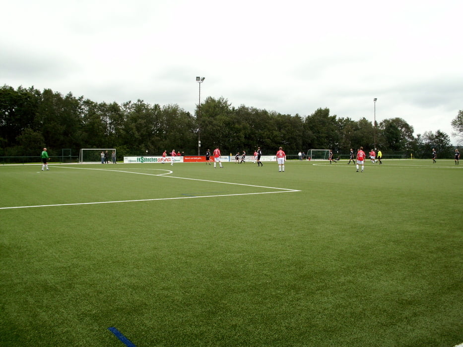
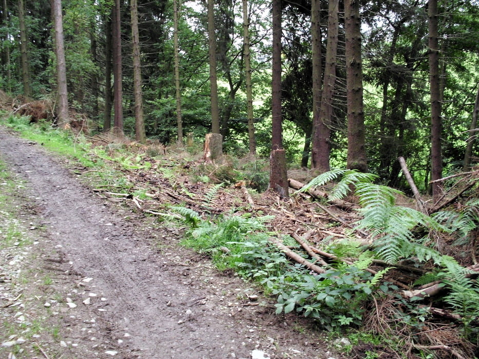
Start in der Falkenstraße, hinunter ins Ennepetal bis Burbach und weiter hinauf nach Ahe, über Wanderwege Ri. Wellershausen, dann weiter nach Hinüber, Borbeck, Finkensiepen, Neuenhaus, Siepen und Beck bis zur B 483, auf die K 10 und durch ein tolles Waldgebiet auf die K 9/Uelfetal auf die L 414, hier bis Dahlerau, Wilhelmstal und Krebsöge zur Wuppersperre, tlw. umrunden bis zur Feldbachvorsperre, über Kräwinklerbrücke hoch auf den Radweg nach Radevormwald, durch Radevormwald, dann entlang der B 229 bis Schwenke (Einweihung der neuen Friedrichshöhe-Kunstrasenplatz- Spiel Tradionsmannschaft 1. FC Köln gegen Altherren TuS Ennepe), auf K 3 Ri. Anschlag bis Büchenbaum, wieder hinunter über Kreimendahl ins Ennepetal, Ri. Altemühle, den Weg hoch am alten Freibad Mühlenstraße vorbei zum Waldweg und zurück nach Hause.
Further information at
http://www.tusennepe1926.de/Galerija izletov
Zemljevid in višinski profil izleta
Minimum height 216 m
Maximum height 432 m
More about the tour author
|
|
neuser |
Komentarji

Poti GPS
Trackpoints-
GPX / Garmin Map Source (gpx) download
-
TCX / Garmin Training Center® (tcx) download
-
CRS / Garmin Training Center® (crs) download
-
Google Earth (kml) download
-
G7ToWin (g7t) download
-
TTQV (trk) download
-
Overlay (ovl) download
-
Fugawi (txt) download
-
Kompass (DAV) Track (tk) download
-
List z izleti (pdf) download
-
Original file of the author (gpx) download
More about the tour author
|
|
neuser |
Add to my favorites
Remove from my favorites
Edit tags
Open track
My score
Rate