

Die Tour startet in Colmdorf in Bayreuth und führt weitestgehend auf dem Bayreuther Rundwanderweg. Gekennzeichnet durch einen gelben / orangen Punkt. Die Ausschilderung ist leider nicht immmer durchgängig und teilweise nicht so leicht auffindbar. Deswegen ist die Unterstützung per GPS empfehlenswert.
Die Tour führt auf ein paar Forstwegen und hauptsächlich Wanderwegen / Trails. Nur sehr selten mal für ein paar hundert Meter über Teerstraßen. In Bindlach habe ich die Tour dann etwas abgekürzt und bin auf den normale Radwegen zurück nach Colmdorf.
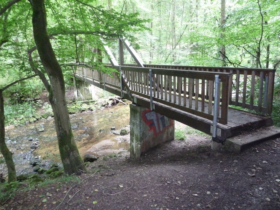
Vom Anspruch her für Anfänger und Fortgeschrittene geeignet. Nur zwei mal muss für ein paar Meter geschoben werden. Gute Fahrer können vermutlich alles ohne Absteigen meistern.
Man kann dort auch noch weiter auf dem R-Weg fahren. Den kompletten R-Weg gibt es hier als GPS-Track: http://www.mountainbike-oberfranken.de/biketouren/einmal-rund-um-bayreuth-der-r-weg.html
Galerija izletov

Zemljevid in višinski profil izleta
Minimum height 320 m
Maximum height 460 m
More about the tour author
|
|
rs_muc |
Komentarji
Poti GPS
Trackpoints-
GPX / Garmin Map Source (gpx) download
-
TCX / Garmin Training Center® (tcx) download
-
CRS / Garmin Training Center® (crs) download
-
Google Earth (kml) download
-
G7ToWin (g7t) download
-
TTQV (trk) download
-
Overlay (ovl) download
-
Fugawi (txt) download
-
Kompass (DAV) Track (tk) download
-
List z izleti (pdf) download
-
Original file of the author (gpx) download
More about the tour author
|
|
rs_muc |
Add to my favorites
Remove from my favorites
Edit tags
Open track
My score
Rate
Tolle Tour!
macht Spaß