Login

Si pozabil/a podatke za prijavo?

Cookies have to be accepted!
Your browser's cookie functionality is disabled. Please enable this functionality.

Not a member yet?

Register now
Login

Available for registred users only

Log in to use this feature.

Si pozabil/a podatke za prijavo?

Cookies have to be accepted!
Your browser's cookie functionality is disabled. Please enable this functionality.

Not a member yet?

Register now
Filter
Kategorije
Advanced filters
  • Dolžina (km)
  • Metri nadmorske višine
Shrani filter Reset filter

TrackRank

QRCode

Technical data

Dolžina161,5 km Metri nadmorske višine2438 m Way down2435 m Trajanje00:00 h:m Datum01.08.2011
Ocene Author Pokrajina Dejavnik zabave Kondicija Tehnika

Statistika

251 Pogledi Ocene 20 Prenosi Povprečje
Rate
  • List z izleti
  • Prihod
  • Prenosi
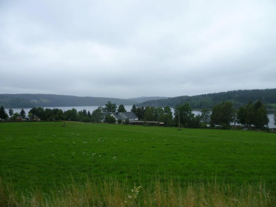
Strecke des Frankenwaldradmarathon 2011_160 Km. Landschaftlich sehr schöne Strecke, teils auf ruhigen Straßen in Richtung Thüringen über die Bleiloch Talsperre!!

Further information at

http://www.frankenwald-radmarathon.de/

Galerija izletov

Zemljevid in višinski profil izleta

  • Open Street Map
  • Google
Minimum height 282 m Maximum height 695 m Prikaz podrobnosti

More about the tour author

FLU
Member since 2009

Send private message

Komentarji

Poti GPS

Trackpoints
  • GPX / Garmin Map Source (gpx) download
  • TCX / Garmin Training Center® (tcx) download
  • CRS / Garmin Training Center® (crs) download
  • Google Earth (kml) download
  • G7ToWin (g7t) download
  • TTQV (trk) download
  • Overlay (ovl) download
  • Fugawi (txt) download
  • Kompass (DAV) Track (tk) download
  • List z izleti (pdf) download
  • Original file of the author (gpx) download

More about the tour author

FLU
Member since 2009

Send private message
Share track
Add to my favorites
Remove from my favorites
Edit tags
My score
Rate
Izlet: Frankenwaldradmarathon 2011_160 km Strecke
Vrsta: Dirkalno kolo
Dolžina: 161,5 km
Evaluated on:
Trajanje:
Day(s)
Hour(s)
Minute(s)
Ocena: Pokrajina Dejavnik zabave Kondicija Tehnika