

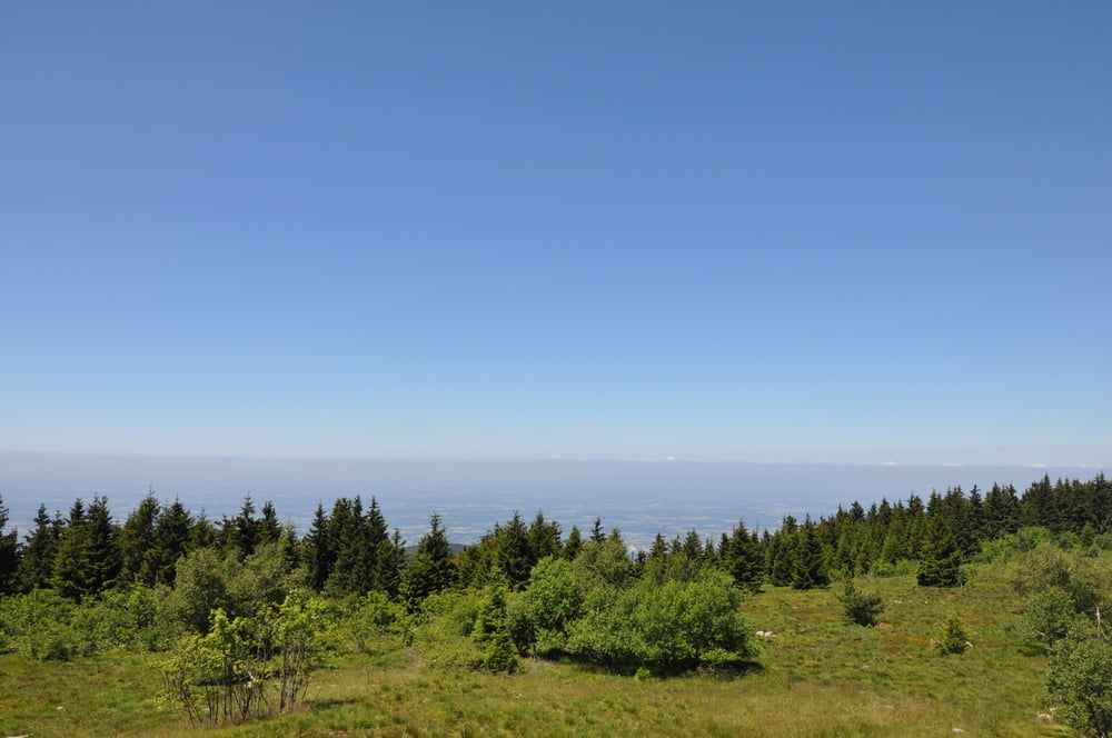
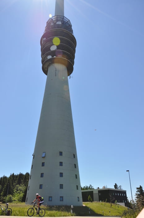
Eine Schwarzwald-Genuß-Pur-Tour, leicht fahrbar. Etwas Kondition sollte allerdings mitgebracht werden... Die Hightlights der Tour ist die Hornisgrinde mit dem Aussichtsturm mit sensationell schönen Ausblicken ins Rheintal zwischen Schwarzwald und Vogesen und/oder der Schwäbischen Alb.
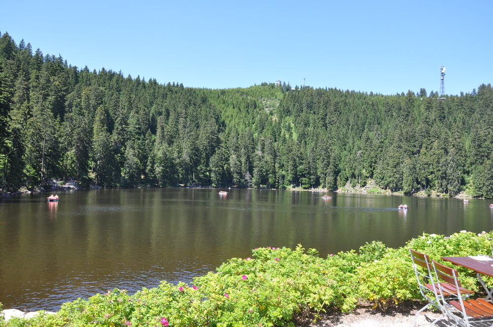
Einkehrempfehlung ist das Restaurant am Mummelsee (die Rückseite ist ruhiger). Hier sind die badischen Maultaschen mit Salat zu empfehlen (für den Bikerdurst das Tannenzähle "alkoholfrei oder das Original).
Galerija izletov
Zemljevid in višinski profil izleta
Minimum height 459 m
Maximum height 1162 m
More about the tour author
|
|
t-runner |
Komentarji

Anfahrt von Rastatt oder Freudenstadt / Parkmöglichkeiten am Bahnhof Schönmünzach
Poti GPS
Trackpoints-
GPX / Garmin Map Source (gpx) download
-
TCX / Garmin Training Center® (tcx) download
-
CRS / Garmin Training Center® (crs) download
-
Google Earth (kml) download
-
G7ToWin (g7t) download
-
TTQV (trk) download
-
Overlay (ovl) download
-
Fugawi (txt) download
-
Kompass (DAV) Track (tk) download
-
List z izleti (pdf) download
-
Original file of the author (gpx) download
More about the tour author
|
|
t-runner |
Add to my favorites
Remove from my favorites
Edit tags
Open track
My score
Rate