Login

Si pozabil/a podatke za prijavo?

Cookies have to be accepted!
Your browser's cookie functionality is disabled. Please enable this functionality.

Not a member yet?

Register now
Login

Available for registred users only

Log in to use this feature.

Si pozabil/a podatke za prijavo?

Cookies have to be accepted!
Your browser's cookie functionality is disabled. Please enable this functionality.

Not a member yet?

Register now
Filter
Kategorije
Advanced filters
  • Dolžina (km)
  • Metri nadmorske višine
Shrani filter Reset filter

TrackRank

QRCode

Technical data

Dolžina92,8 km Metri nadmorske višine6473 m Way down6106 m Trajanje7 days 0 h Datum13.08.2011
Ocene Author Pokrajina Dejavnik zabave Kondicija Tehnika

Statistika

1188 Pogledi Ocene 74 Prenosi Povprečje
Rate
  • List z izleti
  • Prihod
  • Prenosi

1. Tag  von Fusch zur Gleiwitzer Hütte


2. Tag  von der Gleiwitzer Hütte zum Mooserboden


3.Tag  vom Mooserboden zur Rudolfshütte


4. Tag  von der Rudolfshütte zum Kalser Tauernhaus


5. Tag  vom Kalser Tauernhaus zur Stüdlhütte


6. Tag  von der Stüdlhütte zum Glocknerhaus


7. Tag  vom Glocknerhaus nach Ferleiten
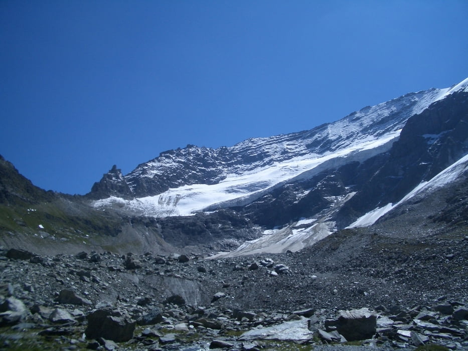
Galerija izletov

Zemljevid in višinski profil izleta

  • Open Street Map
  • Google
Minimum height 790 m Maximum height 3062 m Prikaz podrobnosti

More about the tour author

stefan913
Member since 2008

Send private message

Komentarji

Von Zell am See kommend in Richtung Bruck und von dort nach Fusch am Großglockner.

Ca. 500 Meter hinter der Tankstelle ist rechts ein Parkplatz für Besucher der Gleiwitzer Hütte.

Poti GPS

Trackpoints
  • GPX / Garmin Map Source (gpx) download
  • TCX / Garmin Training Center® (tcx) download
  • CRS / Garmin Training Center® (crs) download
  • Google Earth (kml) download
  • G7ToWin (g7t) download
  • TTQV (trk) download
  • Overlay (ovl) download
  • Fugawi (txt) download
  • Kompass (DAV) Track (tk) download
  • List z izleti (pdf) download
  • Original file of the author (gpx) download

More about the tour author

stefan913
Member since 2008

Send private message
Share track
Add to my favorites
Remove from my favorites
Edit tags
My score
Rate
Izlet: Großglocknerumrundung (7Tage)
Vrsta: Pešačenje
Dolžina: 92,8 km
Evaluated on:
Trajanje:
Day(s)
Hour(s)
Minute(s)
Ocena: Pokrajina Dejavnik zabave Kondicija Tehnika