

Diese Tour führt vom Flachland bis zum "Tour de Batère" (1429 m). Rennradfahrer können bis den „Col de Palomère“ (1036m) steigen, aber dann nicht weiter (wegen grober Schotterweg). Alternativ: Fahrrad lassen, und weiter auf den Fußweg bis zum Turm.
Wegbeschreibung:
In Trouillas D23 Richtung Ceret bis Llaurot nehmen. Ab Fourques fängt der fast ununterbrochene Aufstieg an bis zum Turm von Batère. Nach Llauro D13 Richtung Oms nehmen. Am Col de Fourtou auf die D618 links abbiegen. Unterwegs können Sie "La Chapelle de la Trinité" besuchen. Am Col de Xatard, rechts auf die D13, Richtung "La Bastide", weiter bis zum "Col de Palomère".
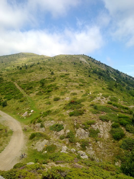
Dort links auf dem Schotterweg abbiegen. Der Turm de Batère ist danach kurz sichtbar.
Beim Abstieg zurück bis der Col de Fourtou. Dort die Straße gegenüber nehmen, bis Caixas. Dann rechts Richtung Montauriol und Fourques.
Zemljevid in višinski profil izleta
Minimum height 90 m
Maximum height 1420 m
More about the tour author
|
|
francbalt |
Komentarji

Poti GPS
Trackpoints-
GPX / Garmin Map Source (gpx) download
-
TCX / Garmin Training Center® (tcx) download
-
CRS / Garmin Training Center® (crs) download
-
Google Earth (kml) download
-
G7ToWin (g7t) download
-
TTQV (trk) download
-
Overlay (ovl) download
-
Fugawi (txt) download
-
Kompass (DAV) Track (tk) download
-
List z izleti (pdf) download
-
Original file of the author (gpx) download
More about the tour author
|
|
francbalt |
Add to my favorites
Remove from my favorites
Edit tags
Open track
My score
Rate