


Vom Wanderparkplatz auf einer gut ausgebauten Forststraße zuerst in nördlicher Richtung dann in westlicher Richtung zum Startplatz der Schaffhausener Gleitschirm- und Drachenflieger (http://www.shv-fsvl.ch/filevault/ObLuckenWeb.pdf) oder (http://www.dgcsh.ch/docs/oblucken.htm) Ob Lucken.
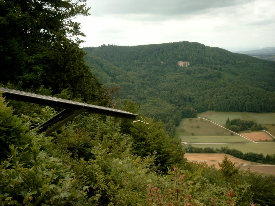
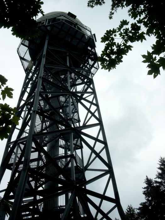
Vom Startplatz zuerst auf Waldwegen, später auf gut ausgebauten Forststraßen den Wegweisern folgend zum Hagenturm.
Von der Aussichtsplattform sind bei geeigneter Witterung weite Ausblicke vom Schwarzwald bis in die Alpen möglich.
Further information at
http://de.wikipedia.org/wiki/HagenturmGalerija izletov


Zemljevid in višinski profil izleta
Minimum height 817 m
Maximum height 945 m
More about the tour author
|
|
KaufensH |
Komentarji

Von Beggingen oder Hemmental auf der Randenüberfahrt zum Wanderparkplatz Heidenbaum.
Beide Orte liegen im Kanton Schaffhausen unweit der deutschen Grenze.
Poti GPS
Trackpoints-
GPX / Garmin Map Source (gpx) download
-
TCX / Garmin Training Center® (tcx) download
-
CRS / Garmin Training Center® (crs) download
-
Google Earth (kml) download
-
G7ToWin (g7t) download
-
TTQV (trk) download
-
Overlay (ovl) download
-
Fugawi (txt) download
-
Kompass (DAV) Track (tk) download
-
List z izleti (pdf) download
-
Original file of the author (gpx) download
More about the tour author
|
|
KaufensH |
Add to my favorites
Remove from my favorites
Edit tags
Open track
My score
Rate