Login

Si pozabil/a podatke za prijavo?

Cookies have to be accepted!
Your browser's cookie functionality is disabled. Please enable this functionality.

Not a member yet?

Register now
Login

Available for registred users only

Log in to use this feature.

Si pozabil/a podatke za prijavo?

Cookies have to be accepted!
Your browser's cookie functionality is disabled. Please enable this functionality.

Not a member yet?

Register now
Filter
Kategorije
Advanced filters
  • Dolžina (km)
  • Metri nadmorske višine
Shrani filter Reset filter

TrackRank

QRCode

Technical data

Dolžina91,2 km Metri nadmorske višine1389 m Way down1399 m Trajanje04:17 h:m Datum21.08.2011
Ocene Author Pokrajina Dejavnik zabave Kondicija Tehnika

Statistika

203 Pogledi Ocene 12 Prenosi Povprečje
Rate
  • List z izleti
  • Prihod
  • Prenosi

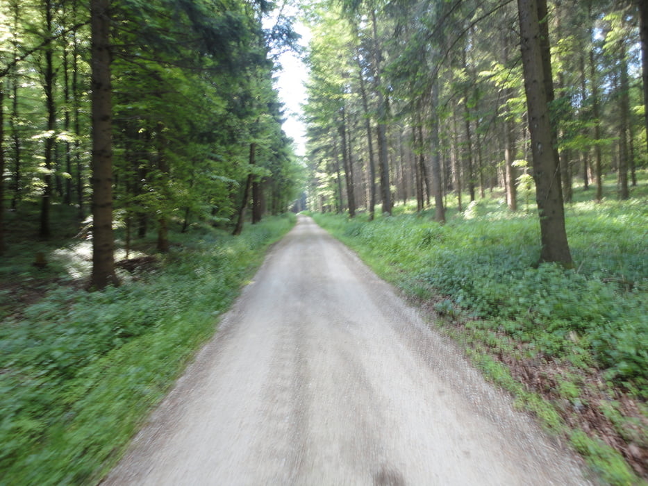
Von Gomaringen auf Radwegen nach Münsingen.Von Münsingen auf die Alb Gold Strecke nach Trochtelfingen ,über Erpfingen nach Willmandingen-Gomaringen.

Auf dem Weg nach Münsingen ist leider das GPS AUSGEFALLEN:

Zemljevid in višinski profil izleta

  • Open Street Map
  • Google
Minimum height 402 m Maximum height 832 m Prikaz podrobnosti

More about the tour author

ubikefun
Member since 2010

Send private message

Komentarji

Poti GPS

Trackpoints
  • GPX / Garmin Map Source (gpx) download
  • TCX / Garmin Training Center® (tcx) download
  • CRS / Garmin Training Center® (crs) download
  • Google Earth (kml) download
  • G7ToWin (g7t) download
  • TTQV (trk) download
  • Overlay (ovl) download
  • Fugawi (txt) download
  • Kompass (DAV) Track (tk) download
  • List z izleti (pdf) download
  • Original file of the author (tcx) download

More about the tour author

ubikefun
Member since 2010

Send private message
Share track
Add to my favorites
Remove from my favorites
Edit tags
My score
Rate
Izlet: Gomaringen-Münsingen-Alb Goldstrecke-Gomaringen
Vrsta: Gorsko kolo
Dolžina: 91,2 km
Evaluated on:
Trajanje:
Day(s)
Hour(s)
Minute(s)
Ocena: Pokrajina Dejavnik zabave Kondicija Tehnika