Schöne Radtour von der Roussillon bis in das erste Gebirge der Pyrenäen.
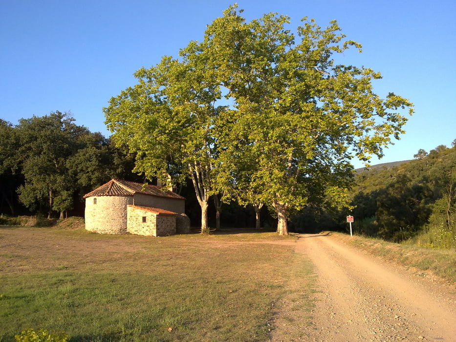
Der Teil zwischen Terrats und Cameilles ist eine Piste. Danach sind es wenig befahrende Straßen (außer der Teil zwischen Le Pont de Reynès und Céret). Unterwegs sind verschiedene Kappellen zu sehen: Saint Amand (nach Les Hostalets), La Trinité (nach de Col de Fourou), Ermittage St Ferrol (nach Céret).
Galerija izletov
Zemljevid in višinski profil izleta
Minimum height 90 m
Maximum height 773 m
Komentarji

Poti GPS
Trackpoints-
GPX / Garmin Map Source (gpx) download
-
TCX / Garmin Training Center® (tcx) download
-
CRS / Garmin Training Center® (crs) download
-
Google Earth (kml) download
-
G7ToWin (g7t) download
-
TTQV (trk) download
-
Overlay (ovl) download
-
Fugawi (txt) download
-
Kompass (DAV) Track (tk) download
-
List z izleti (pdf) download
-
Original file of the author (gpx) download
Add to my favorites
Remove from my favorites
Edit tags
Open track
My score
Rate


