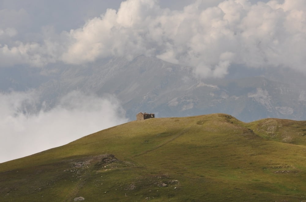
Gestartet wird in Susa, Parken auf dem großen Parkplatz oder beim Bahnhof.
Die Assietta Kammstraße entlang, runter nach Sestriere und Thures.
Übernachtung in Thures im Posto Tappa sehr zu empfehlen!
Further information at
http://randypanguitch.wordpress.com/alpenx-mit-dem-mtb/2011_westalpentour/2011_westalpentour_tag_01/Galerija izletov
Zemljevid in višinski profil izleta
Minimum height 471 m
Maximum height 2602 m
Komentarji

Poti GPS
Trackpoints-
GPX / Garmin Map Source (gpx) download
-
TCX / Garmin Training Center® (tcx) download
-
CRS / Garmin Training Center® (crs) download
-
Google Earth (kml) download
-
G7ToWin (g7t) download
-
TTQV (trk) download
-
Overlay (ovl) download
-
Fugawi (txt) download
-
Kompass (DAV) Track (tk) download
-
List z izleti (pdf) download
-
Original file of the author (gpx) download
Add to my favorites
Remove from my favorites
Edit tags
Open track
My score
Rate


