Login

Si pozabil/a podatke za prijavo?

Cookies have to be accepted!
Your browser's cookie functionality is disabled. Please enable this functionality.

Not a member yet?

Register now
Login

Available for registred users only

Log in to use this feature.

Si pozabil/a podatke za prijavo?

Cookies have to be accepted!
Your browser's cookie functionality is disabled. Please enable this functionality.

Not a member yet?

Register now
Filter
Kategorije
Advanced filters
  • Dolžina (km)
  • Metri nadmorske višine
Shrani filter Reset filter

TrackRank

QRCode

Technical data

Dolžina28,6 km Metri nadmorske višine597 m Way down593 m Trajanje02:00 h:m Datum10.09.2011
Ocene Author Pokrajina Dejavnik zabave Kondicija Tehnika

Statistika

323 Pogledi Ocene 66 Prenosi Povprečje
Rate
  • List z izleti
  • Prihod
  • Prenosi

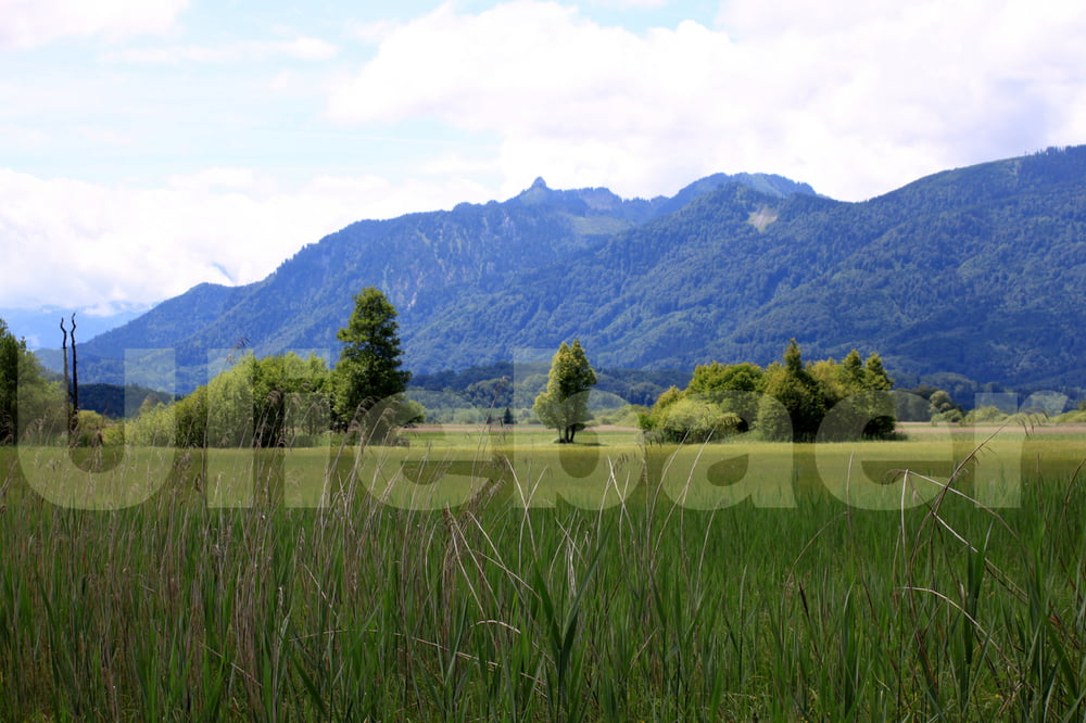
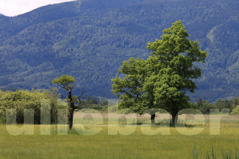
Start in Murnau, Ohlstadt, Eschenlohe, oder Grafenaschau. Einige Wirtschaften auf dem Weg für die Einkehr.

Wir haben die Tour in Ohlstadt am Bahnhof begonnen.

Die GPS-Steigeung am Ende der Tour auf fast 1000 HM entspricht nicht der Wahrheit, es gibt nur geringe Steigungen. Die angegebenen Abstiegshöhenmeter könnt Ihr daher auch vergessen, es sind wie im Aufstieg nur 215 Meter.

Galerija izletov

Zemljevid in višinski profil izleta

  • Open Street Map
  • Google
Minimum height 600 m Maximum height 993 m Prikaz podrobnosti

More about the tour author

uliebaer
Member since 2010

Send private message

Komentarji

Poti GPS

Trackpoints
  • GPX / Garmin Map Source (gpx) download
  • TCX / Garmin Training Center® (tcx) download
  • CRS / Garmin Training Center® (crs) download
  • Google Earth (kml) download
  • G7ToWin (g7t) download
  • TTQV (trk) download
  • Overlay (ovl) download
  • Fugawi (txt) download
  • Kompass (DAV) Track (tk) download
  • List z izleti (pdf) download
  • Original file of the author (gpx) download

More about the tour author

uliebaer
Member since 2010

Send private message
Share track
Add to my favorites
Remove from my favorites
Edit tags
My score
Rate
Izlet: Murnauer Moos
Vrsta: Treking kolo
Dolžina: 28,6 km
Evaluated on:
Trajanje:
Day(s)
Hour(s)
Minute(s)
Ocena: Pokrajina Dejavnik zabave Kondicija Tehnika