


Eine kurze knackige Bike-Tour für den Sonntag Nachmittag.
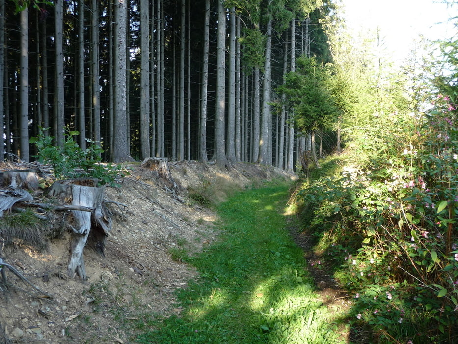
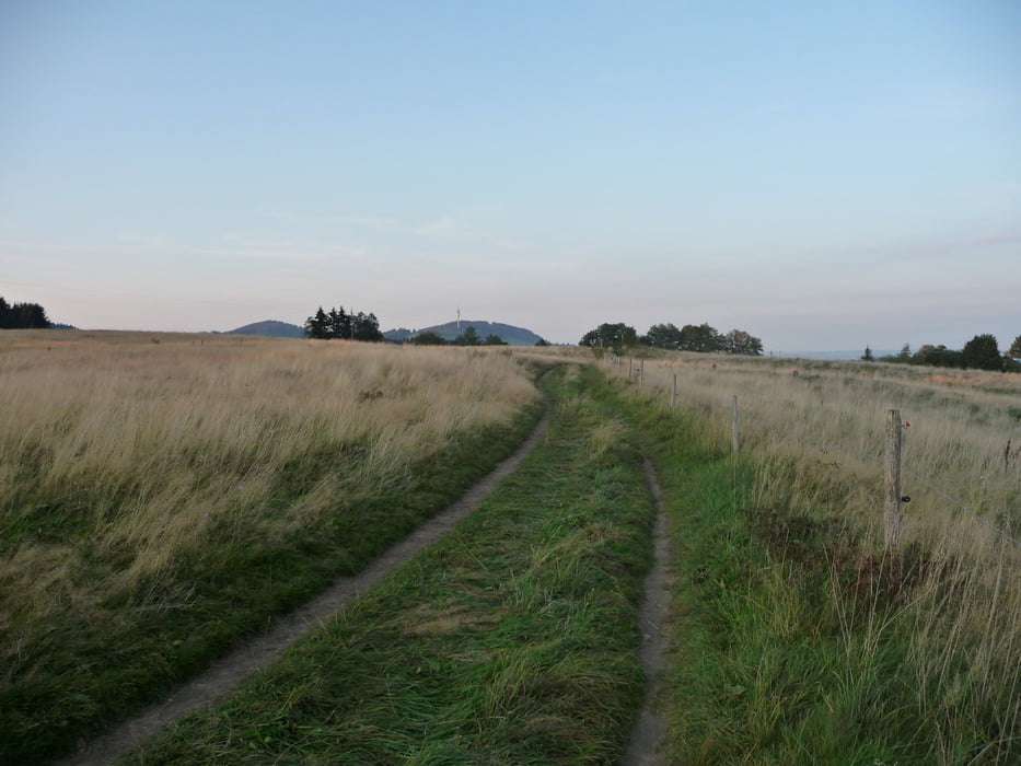
Steile Auf-und Abfahrten (Teer,Schotter,Wald,Wiesenweg)von allem was dabei.
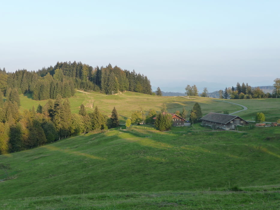
Tolle Aussicht vom Blender und vom Turm Schwarzen Grat.
Einkehrmöglichkeiten;Im Turm Kiosk Schwarzer Grat (Wochenende),Wengener Egg Alpe.
Start ist kurz nach dem Buchenberg Ortsschild (Richtung Eschach) am kostenlosen Parkplatz
Die Tour wird gegen den Uhrzeigersinn gefahren,nur um den Schwarzen Grat im Uhrzeigersinn.
Bitte um Rücksicht auf die Wanderer!
Further information at
http://www.buchenberg.de/home/start.htmGalerija izletov

Zemljevid in višinski profil izleta
Minimum height 869 m
Maximum height 1126 m
More about the tour author
|
|
Roland1978 |
Komentarji

Start ist an kostenlosen Parkplatz kurz nach dem Ortschild Buchenberg in Richtung Eschach.
Von Kempten nach Buchenberg mit dem Auto 8.Km 15.min.
Anreise mit der Bahn;
Vom Hbf Kempten den Radweg "Allgäu-Radweg" folgen Richtung Isny,der führt nach Buchenberg.
Poti GPS
Trackpoints-
GPX / Garmin Map Source (gpx) download
-
TCX / Garmin Training Center® (tcx) download
-
CRS / Garmin Training Center® (crs) download
-
Google Earth (kml) download
-
G7ToWin (g7t) download
-
TTQV (trk) download
-
Overlay (ovl) download
-
Fugawi (txt) download
-
Kompass (DAV) Track (tk) download
-
List z izleti (pdf) download
-
Original file of the author (gpx) download
More about the tour author
|
|
Roland1978 |
Add to my favorites
Remove from my favorites
Edit tags
Open track
My score
Rate