Login

Si pozabil/a podatke za prijavo?

Cookies have to be accepted!
Your browser's cookie functionality is disabled. Please enable this functionality.

Not a member yet?

Register now
Login

Available for registred users only

Log in to use this feature.

Si pozabil/a podatke za prijavo?

Cookies have to be accepted!
Your browser's cookie functionality is disabled. Please enable this functionality.

Not a member yet?

Register now
Filter
Kategorije
Advanced filters
  • Dolžina (km)
  • Metri nadmorske višine
Shrani filter Reset filter

TrackRank

QRCode

Technical data

Dolžina41,4 km Metri nadmorske višine131 m Way down132 m Trajanje02:30 h:m Datum02.10.2011
Ocene Author Pokrajina Dejavnik zabave Kondicija Tehnika

Statistika

287 Pogledi Ocene 54 Prenosi Povprečje
Rate
  • List z izleti
  • Prihod
  • Prenosi

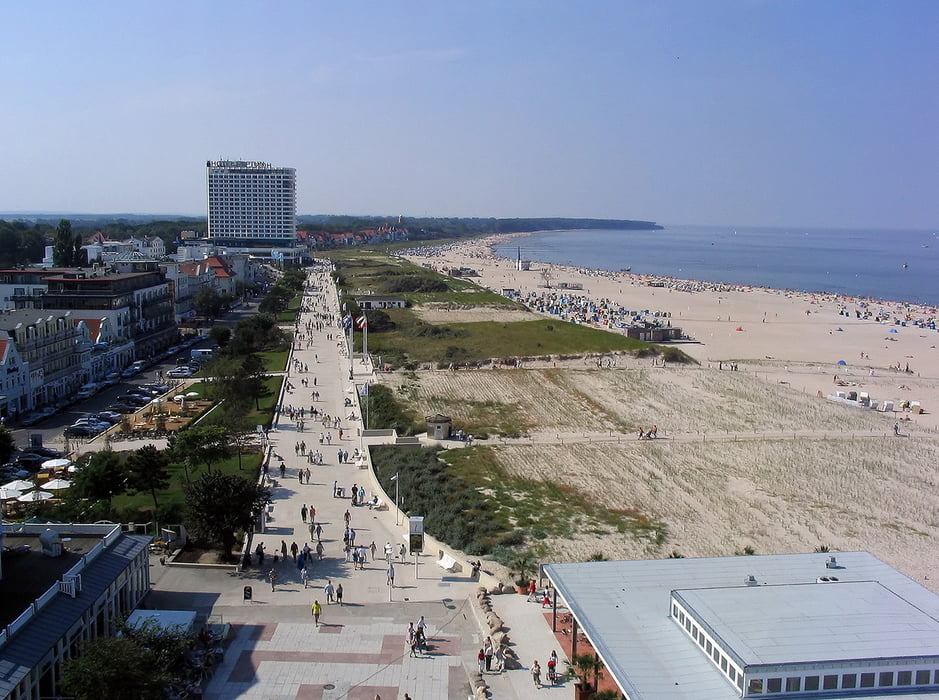
Los gings in Warnemünde (hohe düne) richtung Warnemünde. Man muss mit der Autofähre

über den Warnowkanal, die fahrkosten sind an der Fähre einsehbar.

Die Tour führt immer am Meer entlang.

Viel Spaß

Zemljevid in višinski profil izleta

  • Open Street Map
  • Google
Minimum height -3 m Maximum height 30 m Prikaz podrobnosti

More about the tour author

baerchie85
Member since 2011

Send private message

Komentarji

Poti GPS

Trackpoints
  • GPX / Garmin Map Source (gpx) download
  • TCX / Garmin Training Center® (tcx) download
  • CRS / Garmin Training Center® (crs) download
  • Google Earth (kml) download
  • G7ToWin (g7t) download
  • TTQV (trk) download
  • Overlay (ovl) download
  • Fugawi (txt) download
  • Kompass (DAV) Track (tk) download
  • List z izleti (pdf) download
  • Original file of the author (tcx) download

More about the tour author

baerchie85
Member since 2011

Send private message
Share track
Add to my favorites
Remove from my favorites
Edit tags
My score
Rate
Izlet: Heiligendamm
Vrsta: Gorsko kolo
Dolžina: 41,4 km
Evaluated on:
Trajanje:
Day(s)
Hour(s)
Minute(s)
Ocena: Pokrajina Dejavnik zabave Kondicija Tehnika