
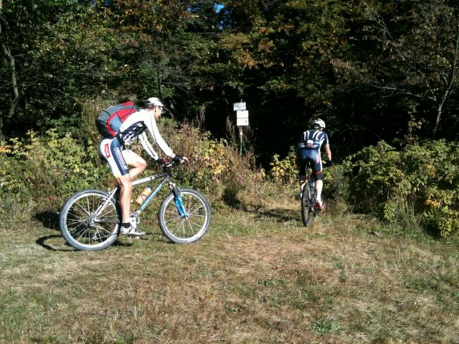

Von Klausen-Leopoldsdorf geht es über einen Waldtrail nach Schöpflgitter, dann über die Schöpflstraße bis zur Schützhütte. Über den Wanderweg eine knackige Abfahrt wieder Richtung Schöpflgitter, danach rechts Richtung Forsthof auf der Forststraße. Das letzte Stück nach Forsthof geht es wieder über einen Singletrail nach Forsthof.
Von Forsthof über den Hametsberg zur Falkensteinerhütte und nach Hochstrass. Von Hochstrass nach Gaisrücken und weiter einen schnellen Trail nach Schöpflgitter. Über ein paar Hinterhöfe über Lammerau zurück nach Klausen-Leopldsdorf.
Nachdem wir sehr schnell unterwegs waren, müssen wir noch einen „Bonustrack“ über Agsbach / Hainbach /Hauptbach nach Klausen-Leopoldsdorf einlegen.
Galerija izletov


Zemljevid in višinski profil izleta
Minimum height 324 m
Maximum height 854 m
More about the tour author

|
mpro1230 |
Komentarji
Poti GPS
Trackpoints-
GPX / Garmin Map Source (gpx) download
-
TCX / Garmin Training Center® (tcx) download
-
CRS / Garmin Training Center® (crs) download
-
Google Earth (kml) download
-
G7ToWin (g7t) download
-
TTQV (trk) download
-
Overlay (ovl) download
-
Fugawi (txt) download
-
Kompass (DAV) Track (tk) download
-
List z izleti (pdf) download
-
Original file of the author (gpx) download
More about the tour author
|
|
mpro1230 |
Add to my favorites
Remove from my favorites
Edit tags
Open track
My score
Rate
Nette Tour!