Login

Si pozabil/a podatke za prijavo?

Cookies have to be accepted!
Your browser's cookie functionality is disabled. Please enable this functionality.

Not a member yet?

Register now
Login

Available for registred users only

Log in to use this feature.

Si pozabil/a podatke za prijavo?

Cookies have to be accepted!
Your browser's cookie functionality is disabled. Please enable this functionality.

Not a member yet?

Register now
Filter
Kategorije
Advanced filters
  • Dolžina (km)
  • Metri nadmorske višine
Shrani filter Reset filter

TrackRank

QRCode

Technical data

Dolžina28,2 km Metri nadmorske višine731 m Way down734 m Trajanje01:57 h:m Datum05.10.2011
Ocene Author Pokrajina Dejavnik zabave Kondicija Tehnika

Statistika

422 Pogledi Ocene 112 Prenosi Povprečje
Rate
  • List z izleti
  • Prihod
  • Prenosi
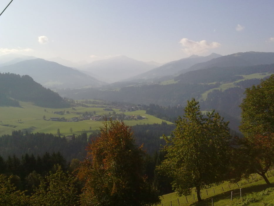
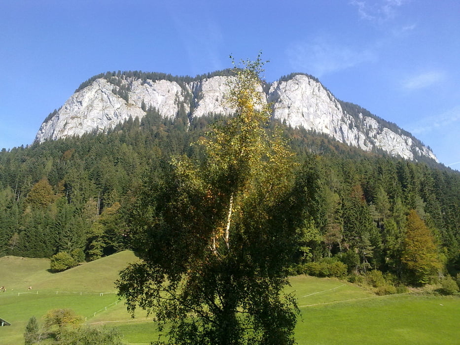
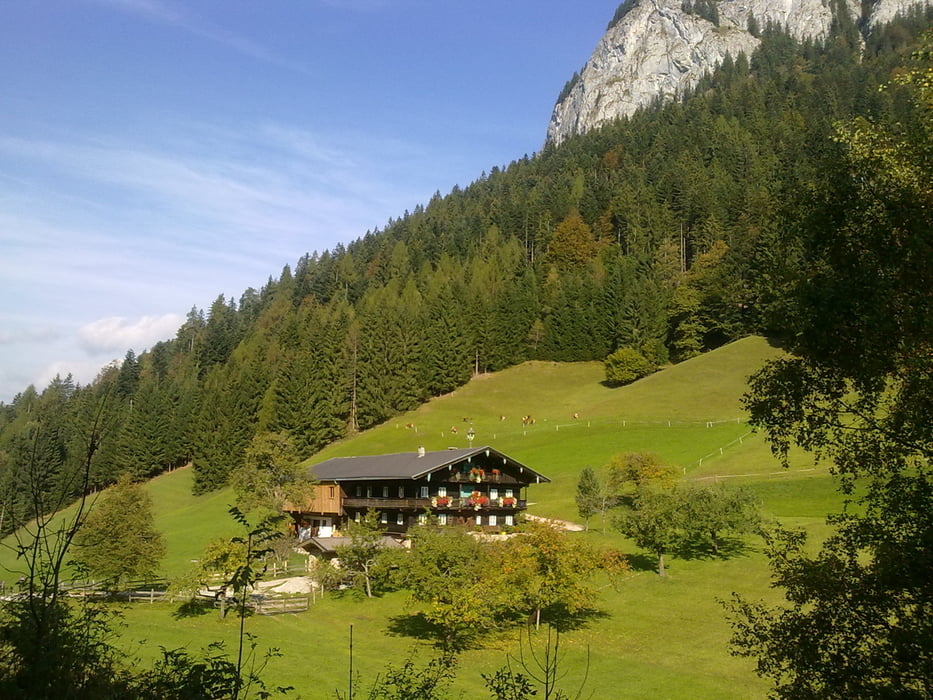
Von Bad Häring nach Kirchbichl Bruckhäusl, ins Brixental nach Hopfgarten, über den Berg nach Itter, weiter nach Söll, auf das Alpengast Stallhäusl (1.000 m Seehöhe) und den Berg runter nach Bad Häring

Galerija izletov

Zemljevid in višinski profil izleta

  • Open Street Map
  • Google
Minimum height 530 m Maximum height 1047 m Prikaz podrobnosti

More about the tour author

Radclub-Trumau
Member since 2011

Send private message

Komentarji

Poti GPS

Trackpoints
  • GPX / Garmin Map Source (gpx) download
  • TCX / Garmin Training Center® (tcx) download
  • CRS / Garmin Training Center® (crs) download
  • Google Earth (kml) download
  • G7ToWin (g7t) download
  • TTQV (trk) download
  • Overlay (ovl) download
  • Fugawi (txt) download
  • Kompass (DAV) Track (tk) download
  • List z izleti (pdf) download
  • Original file of the author (tcx) download

More about the tour author

Radclub-Trumau
Member since 2011

Send private message
Share track
Add to my favorites
Remove from my favorites
Edit tags
My score
Rate
Izlet: Stallhäusl
Vrsta: Gorsko kolo
Dolžina: 28,2 km
Evaluated on:
Trajanje:
Day(s)
Hour(s)
Minute(s)
Ocena: Pokrajina Dejavnik zabave Kondicija Tehnika