


Die Tour beginnt auf dem Parkplatz Aldi in Reichelsheim:
Entlang der Straße (Radweg) Richtung Beerfurth, hier wird nach dem Parkplatz gegenüber der Eisdiele recht abgebogen.
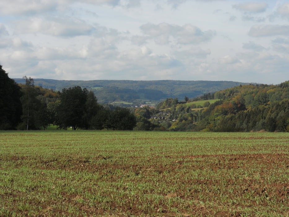
Die Straße (Wirtschaftsweg) asphaltiert und Forstweg, aber dafür in der Sonne geht es stetig ca. 5 km bergauf in Richtung Weißerstein (siehe Bild). Der Weg führt weiter Richtung Mossauer Bild (siehe Bild), hier links halten Richtung Lärmfeuer schöner Trail. Der Trail geht am Lärmfeuer vorbei und führt wieder auf einen Forstweg. Hier rechts weiterfahren. Die Richtung geht nach Rohrbach (siehe Bild).
Von Rohrbach Richtung Unter Ostern aus führt der Weg über den Leimberg zurück nach Reichelsheim zum Startpunkt.
Galerija izletov


Zemljevid in višinski profil izleta
Minimum height 193 m
Maximum height 504 m
More about the tour author
|
|
odwgeist |
Komentarji

Poti GPS
Trackpoints-
GPX / Garmin Map Source (gpx) download
-
TCX / Garmin Training Center® (tcx) download
-
CRS / Garmin Training Center® (crs) download
-
Google Earth (kml) download
-
G7ToWin (g7t) download
-
TTQV (trk) download
-
Overlay (ovl) download
-
Fugawi (txt) download
-
Kompass (DAV) Track (tk) download
-
List z izleti (pdf) download
-
Original file of the author (tcx) download
More about the tour author
|
|
odwgeist |
Add to my favorites
Remove from my favorites
Edit tags
Open track
My score
Rate