
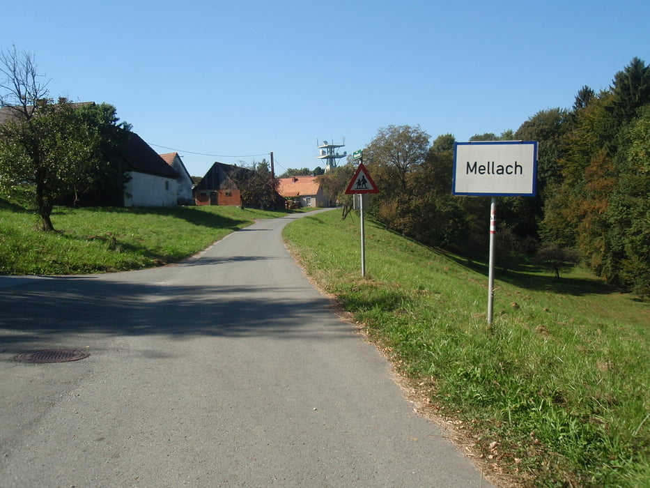

Von Kalsdorf Richtung Süden bis zum Kraftwerk Mellach und dannach der 1. Anstieg nach Kollisch weiter den Waldweg ins Tal und wieder rauf nach Mellach, weiter auf Aspahlt nach Allerheiligen und am Kamm nach St. Ulrich. Nächste Ort Mellachberg und dann einen Waldweg Downhill weiter nach Fernitzberg einen gut befahrbaren Schotterweg rauf!
Nach Fernitzberg gehts durch ein Waldstück nach Fernitz und dem Radweg zurück nach Kalsdorf! Achtung der Waldweg ist recht steil- hat mich auch ein paar blaue Flecken beschert!
Galerija izletov
Zemljevid in višinski profil izleta
Minimum height 302 m
Maximum height 461 m
More about the tour author
|
|
19werner66 |
Komentarji

Poti GPS
Trackpoints-
GPX / Garmin Map Source (gpx) download
-
TCX / Garmin Training Center® (tcx) download
-
CRS / Garmin Training Center® (crs) download
-
Google Earth (kml) download
-
G7ToWin (g7t) download
-
TTQV (trk) download
-
Overlay (ovl) download
-
Fugawi (txt) download
-
Kompass (DAV) Track (tk) download
-
List z izleti (pdf) download
-
Original file of the author (gpx) download
More about the tour author
|
|
19werner66 |
Add to my favorites
Remove from my favorites
Edit tags
Open track
My score
Rate