


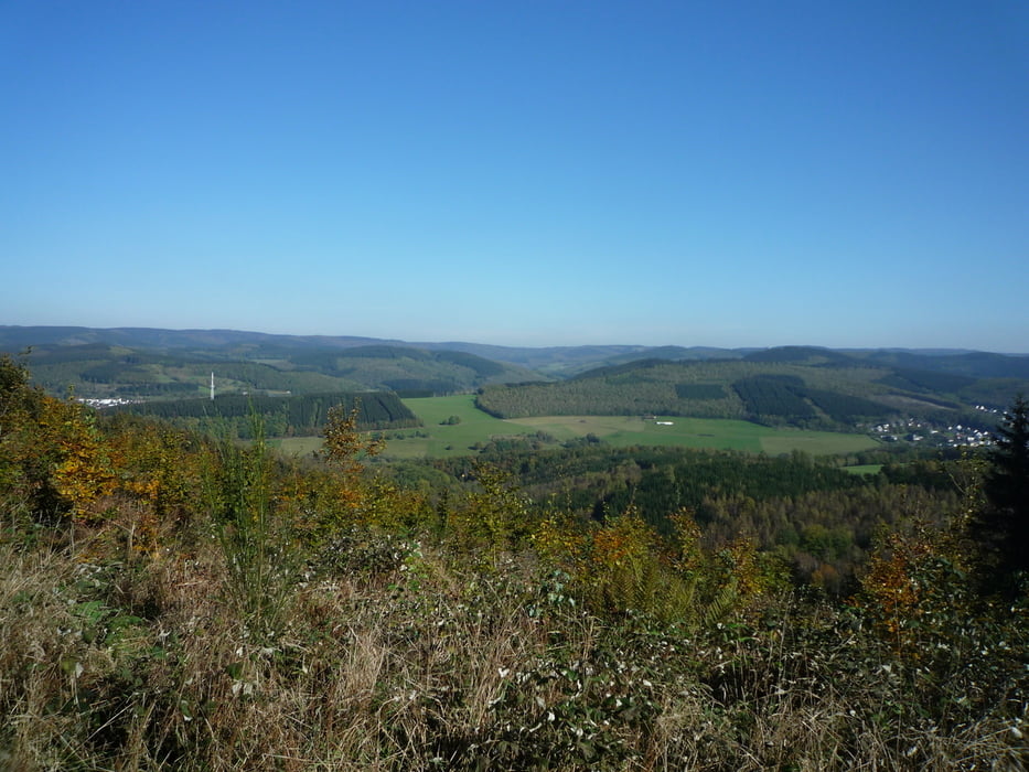
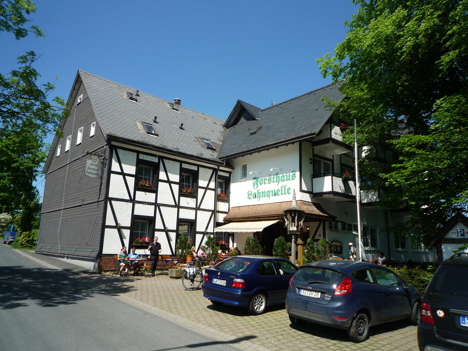
Wir fahren von Oberroßbach aus durch die Dillberge zum Bahnhof Dillbrecht und weiter über die Landesgrenze und Tiefenrother Höhe nach Gernsdorf. Jetzt geht es wieder hoch zum Sportplatz Salchendorf. Wir fahren an den Windrädern vorbei, bleiben auf der Höhe bis oberhalb von Deutz und fahren nun ins Siegtal. Hier geht es links ab, ein kurzes Stück Landstraße und weiter rechts hoch nach Beienbach. Wir fahren nun weiter berauf durch Laub und Nadelwald bis zum Forsthaus Hohenroth. Auf der Eisenstraße geht es zetzt bis zum Lahnhof, wo wir unseren Durst mit einem Hefeweizen löschen.Die Heimfahrt wie oft über Offdillner Bahnhof und Herzogsweg.Wir fahren jetzt noch um den Barmberg auf die Ewersbacher Höhe und weiter bis Weidelbach.Zum Schluss noch über den Radweg nach Oberroßbach.
Galerija izletov


Zemljevid in višinski profil izleta
Minimum height 273 m
Maximum height 674 m
More about the tour author
|
|
baumgarten |
Komentarji

Poti GPS
Trackpoints-
GPX / Garmin Map Source (gpx) download
-
TCX / Garmin Training Center® (tcx) download
-
CRS / Garmin Training Center® (crs) download
-
Google Earth (kml) download
-
G7ToWin (g7t) download
-
TTQV (trk) download
-
Overlay (ovl) download
-
Fugawi (txt) download
-
Kompass (DAV) Track (tk) download
-
List z izleti (pdf) download
-
Original file of the author (gpx) download
More about the tour author
|
|
baumgarten |
Add to my favorites
Remove from my favorites
Edit tags
Open track
My score
Rate