


Wanderung rund um die Halde Brinkfortsheide
Start : Parkplatz an der Kleingartenanlage, Marl, Römerstaße / Spechtstraße
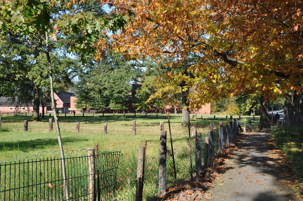
Entlang am Silvertbach geht es zunächst zwischen zwei Haldenbereichen Richtung Osten. Die Halde selbst ist leider nicht begehbar. Die Victoriastraße links weiter bis zur Hülsbergstraße. Hier links abbiegen und in nördlicher Richtung am östlichen Haldenfuß weiter bis zur querenden Straße 'Am Steinberg'. Hier links in den Wald einbiegen und in südwestlicher Richtung zurück zum Ausgangspunkt.
Further information at
http://www.panoramio.com/user/1739782/tags/MarlGalerija izletov
Zemljevid in višinski profil izleta
Minimum height 37 m
Maximum height 65 m
More about the tour author

|
plattapuss |
Komentarji

Poti GPS
Trackpoints-
GPX / Garmin Map Source (gpx) download
-
TCX / Garmin Training Center® (tcx) download
-
CRS / Garmin Training Center® (crs) download
-
Google Earth (kml) download
-
G7ToWin (g7t) download
-
TTQV (trk) download
-
Overlay (ovl) download
-
Fugawi (txt) download
-
Kompass (DAV) Track (tk) download
-
List z izleti (pdf) download
-
Original file of the author (gpx) download
More about the tour author
|
|
plattapuss |
Add to my favorites
Remove from my favorites
Edit tags
Open track
My score
Rate