


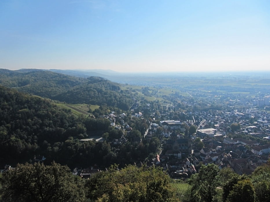
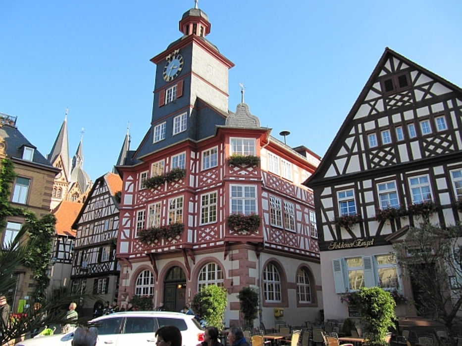
Ausgangs- und Zielpunkt ist der Parkplatz umittelbar an der schönen Altstadt von Heppenheim, die anschließend Richtung Dom und B460 durchquert wird, dann auf schmalem Pfad steil empor am Hang des Schlossbergs, später nahezu hangparallel nach NE durch Weinberge und schließlich wieder steiler bis zum Bergrücken. Von hier dem breiten Weg immer nach Westen folgen bis zur gepflasterten Straße, die bis zur Burg/Burgschänke führt. Abstieg durch die Weinberge nach Heppenheim.
Further information at
http://www.heppenheim.de/Starkenburg.230.0.htmlGalerija izletov

Zemljevid in višinski profil izleta
Minimum height 101 m
Maximum height 302 m
More about the tour author
|
|
Mago_58 |
Komentarji

Anfahrt nach Heppenheim über die B 3 (aus Richtung Heidelberg/Darmstadt) oder B 460 (aus Richtung Worms/Erbach), alternativ über A5 (Abfahrt Heppenheim), Richtung Stadtmitte, Parkplatz "Am Graben", weitere Parkmöglichkeiten in der Nähe
Poti GPS
Trackpoints-
GPX / Garmin Map Source (gpx) download
-
TCX / Garmin Training Center® (tcx) download
-
CRS / Garmin Training Center® (crs) download
-
Google Earth (kml) download
-
G7ToWin (g7t) download
-
TTQV (trk) download
-
Overlay (ovl) download
-
Fugawi (txt) download
-
Kompass (DAV) Track (tk) download
-
List z izleti (pdf) download
-
Original file of the author (gpx) download
More about the tour author
|
|
Mago_58 |
Add to my favorites
Remove from my favorites
Edit tags
Open track
My score
Rate