Login

Si pozabil/a podatke za prijavo?

Cookies have to be accepted!
Your browser's cookie functionality is disabled. Please enable this functionality.

Not a member yet?

Register now
Login

Available for registred users only

Log in to use this feature.

Si pozabil/a podatke za prijavo?

Cookies have to be accepted!
Your browser's cookie functionality is disabled. Please enable this functionality.

Not a member yet?

Register now
Filter
Kategorije
Advanced filters
  • Dolžina (km)
  • Metri nadmorske višine
Shrani filter Reset filter

TrackRank

QRCode

Technical data

Dolžina27,2 km Metri nadmorske višine1031 m Way down1019 m Trajanje03:15 h:m Datum08.12.2011
Ocene Author Pokrajina Dejavnik zabave Kondicija Tehnika

Statistika

264 Pogledi Ocene 28 Prenosi Povprečje
Rate
  • List z izleti
  • Prihod
  • Prenosi
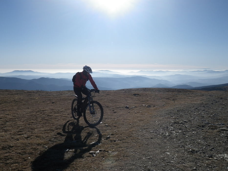
Start in Spital am Semmering, Fahrt Richtung Steinhaus, dann über den Pfaffensattel und die Mautstraße aufs Stuhleck. Die Straßenversion ist gut zum Trainieren (1000 km ohne Unterbrechung bergauf sind bei dieser Steigung nicht ohne), technisch ist sie uninteressant.

Zemljevid in višinski profil izleta

  • Open Street Map
  • Google
Minimum height 767 m Maximum height 1789 m Prikaz podrobnosti

More about the tour author

Magbenkoe
Member since 2008

Send private message

Komentarji

Das Auto kann man irgendwo in Spital abstellen, zum Beispiel auf einem der vielen Liftparkplätze

Poti GPS

Trackpoints
  • GPX / Garmin Map Source (gpx) download
  • TCX / Garmin Training Center® (tcx) download
  • CRS / Garmin Training Center® (crs) download
  • Google Earth (kml) download
  • G7ToWin (g7t) download
  • TTQV (trk) download
  • Overlay (ovl) download
  • Fugawi (txt) download
  • Kompass (DAV) Track (tk) download
  • List z izleti (pdf) download
  • Original file of the author (gpx) download

More about the tour author

Magbenkoe
Member since 2008

Send private message
Share track
Add to my favorites
Remove from my favorites
Edit tags
My score
Rate
Izlet: Stuhleck Straßenversion
Vrsta: Gorsko kolo
Dolžina: 27,2 km
Evaluated on:
Trajanje:
Day(s)
Hour(s)
Minute(s)
Ocena: Pokrajina Dejavnik zabave Kondicija Tehnika