Login

Si pozabil/a podatke za prijavo?

Cookies have to be accepted!
Your browser's cookie functionality is disabled. Please enable this functionality.

Not a member yet?

Register now
Login

Available for registred users only

Log in to use this feature.

Si pozabil/a podatke za prijavo?

Cookies have to be accepted!
Your browser's cookie functionality is disabled. Please enable this functionality.

Not a member yet?

Register now
Filter
Kategorije
Advanced filters
  • Dolžina (km)
  • Metri nadmorske višine
Shrani filter Reset filter

TrackRank

QRCode

Technical data

Dolžina6,4 km Metri nadmorske višine150 m Way down150 m Trajanje01:30 h:m Datum25.01.2012
Ocene Author Pokrajina Dejavnik zabave Kondicija Tehnika

Statistika

380 Pogledi Ocene 32 Prenosi Povprečje
Rate
  • List z izleti
  • Prihod
  • Prenosi
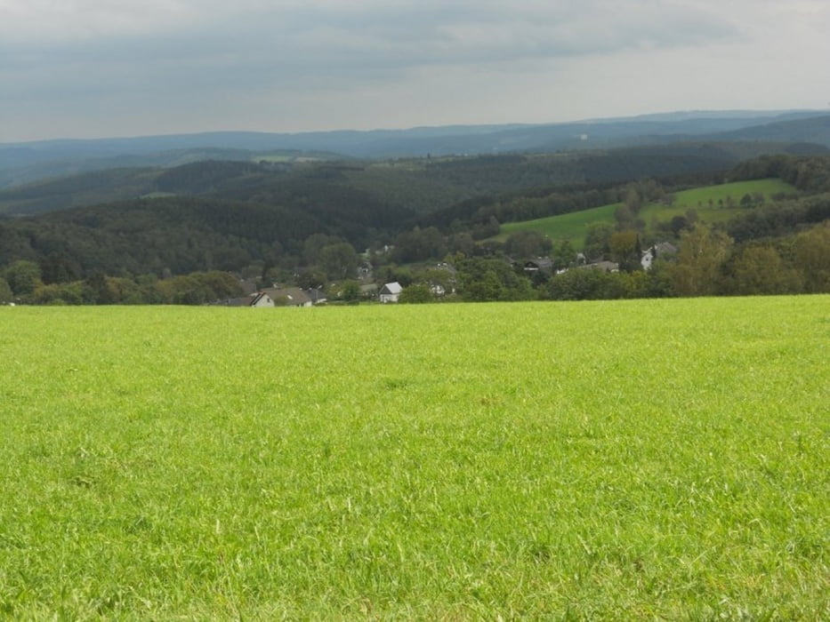
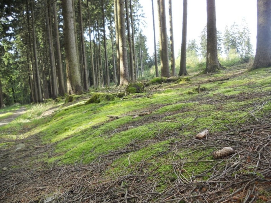
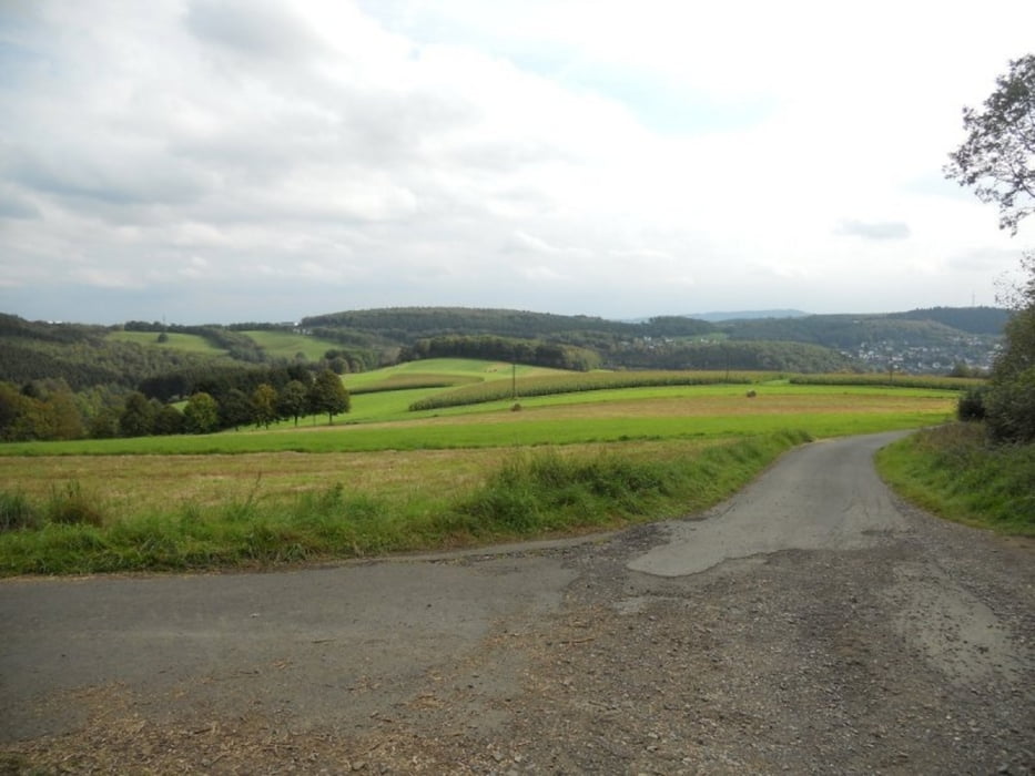
Die Route beginnt auf dem Wanderparkplatz am Sportplatz Büschergrund und führt zum Ischeroth. Dieser Berg bietet eine imposante Weitsicht auf auf das nördliche Siegerland oberhalb von Bühl. Weiter geht der Weg ein Stück zurück und in Richtung Hünsborn Flugplatz über die Autobahn A 45, von da haben wir wunderbare Ausblicke auf Freudenberg und Umgebung. Von da ist es nicht mehr weit bis zum Ausgangspunkt der Tour.

Galerija izletov

Zemljevid in višinski profil izleta

  • Open Street Map
  • Google
Minimum height 320 m Maximum height 452 m Prikaz podrobnosti

More about the tour author

ajdda
Member since 2011

Send private message

Komentarji

Poti GPS

Trackpoints
  • GPX / Garmin Map Source (gpx) download
  • TCX / Garmin Training Center® (tcx) download
  • CRS / Garmin Training Center® (crs) download
  • Google Earth (kml) download
  • G7ToWin (g7t) download
  • TTQV (trk) download
  • Overlay (ovl) download
  • Fugawi (txt) download
  • Kompass (DAV) Track (tk) download
  • List z izleti (pdf) download
  • Original file of the author (gpx) download

More about the tour author

ajdda
Member since 2011

Send private message
Share track
Add to my favorites
Remove from my favorites
Edit tags
My score
Rate
Izlet: Rund um den Ischeroth
Vrsta: Pešačenje
Dolžina: 6,4 km
Evaluated on:
Trajanje:
Day(s)
Hour(s)
Minute(s)
Ocena: Pokrajina Dejavnik zabave Kondicija Tehnika