Login

Si pozabil/a podatke za prijavo?

Cookies have to be accepted!
Your browser's cookie functionality is disabled. Please enable this functionality.

Not a member yet?

Register now
Login

Available for registred users only

Log in to use this feature.

Si pozabil/a podatke za prijavo?

Cookies have to be accepted!
Your browser's cookie functionality is disabled. Please enable this functionality.

Not a member yet?

Register now
Filter
Kategorije
Advanced filters
  • Dolžina (km)
  • Metri nadmorske višine
Shrani filter Reset filter

TrackRank

QRCode

Technical data

Dolžina10,1 km Metri nadmorske višine219 m Way down231 m Trajanje03:00 h:m Datum28.02.2012
Ocene Author Pokrajina Dejavnik zabave Kondicija Tehnika

Statistika

262 Pogledi 1 Ocena 24 Prenosi 5.00 Povprečje
Rate
  • List z izleti
  • Prihod
  • Prenosi

Grotendeels verharde wegen.

Aan de camping is er een cafetaria om het nodige vochtgehalte bij te werken.
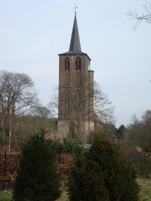
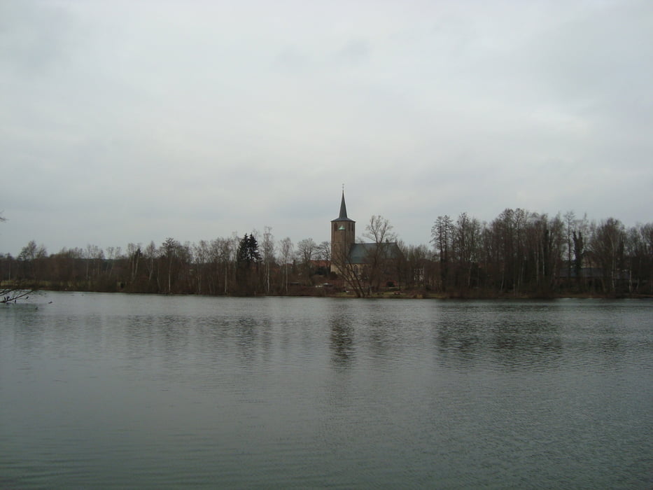
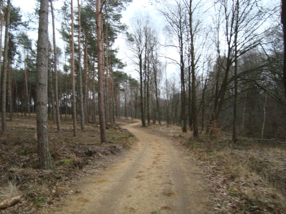
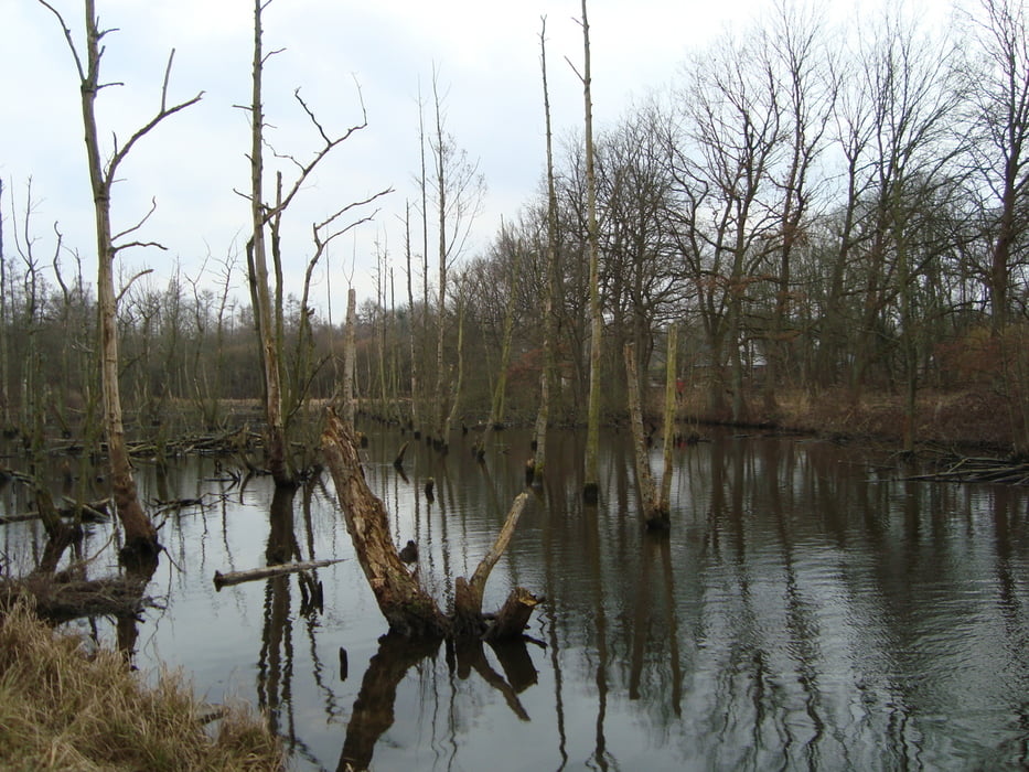
Galerija izletov

Zemljevid in višinski profil izleta

  • Open Street Map
  • Google
Minimum height 18 m Maximum height 88 m Prikaz podrobnosti

More about the tour author

ikkel
Member since 2009

Send private message

Komentarji

De wandeling kan gedaan worden met kinderwagens/rolstoelen

Poti GPS

Trackpoints
  • GPX / Garmin Map Source (gpx) download
  • TCX / Garmin Training Center® (tcx) download
  • CRS / Garmin Training Center® (crs) download
  • Google Earth (kml) download
  • G7ToWin (g7t) download
  • TTQV (trk) download
  • Overlay (ovl) download
  • Fugawi (txt) download
  • Kompass (DAV) Track (tk) download
  • List z izleti (pdf) download
  • Original file of the author (gpx) download

More about the tour author

ikkel
Member since 2009

Send private message
Share track
Add to my favorites
Remove from my favorites
Edit tags
My score
Rate
Izlet: De natuur om en rond de Bornersee
Vrsta: Pešačenje
Dolžina: 10,1 km
Evaluated on:
Trajanje:
Day(s)
Hour(s)
Minute(s)
Ocena: Pokrajina Dejavnik zabave Kondicija Tehnika