


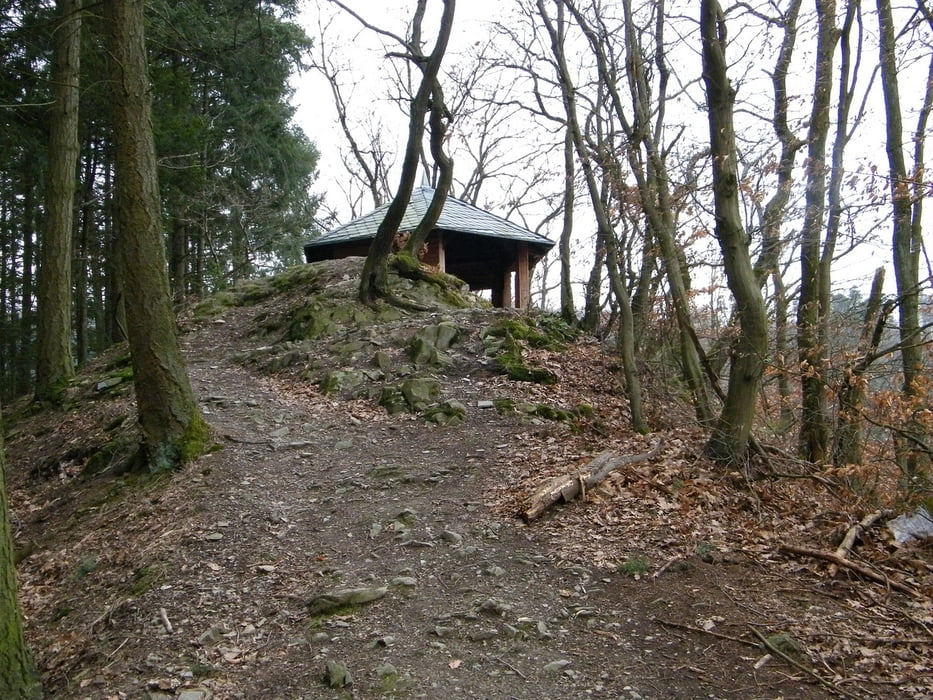
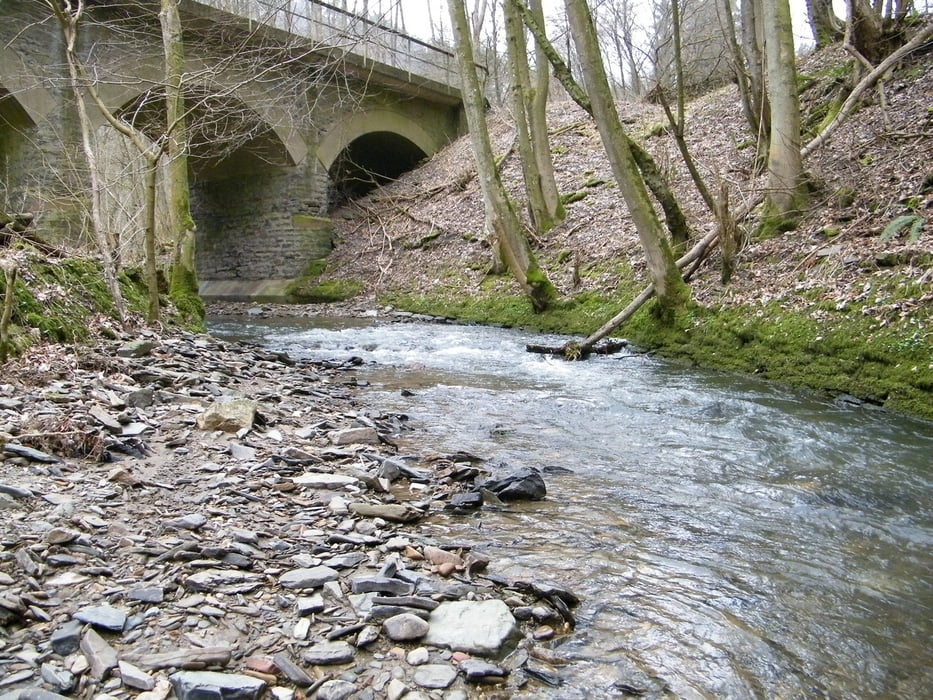
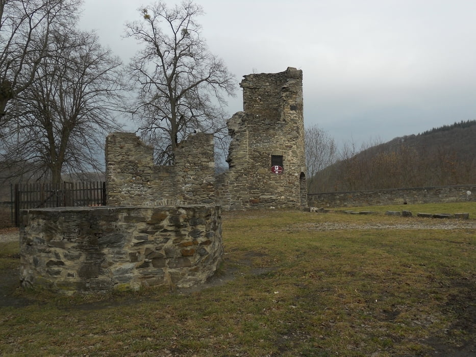
Startpunkt und Ziel ist Parkplatz in die Brexstraße. Strecke ist Nur mit festen Schuhwerk begehbar.Srecke leuft über schattige Waldwege und naturnahe Pfade zu beeindruckenden Felsklippen, hier findet tolle burgruinen und tolle aussichten.
Highlights:
Schloss und Burg Sayn, ehemalige Prämonstratenserabtei Sayn, weite Ausblicke von Oskarhöhe, UNESCO Welterbe Limes mit rekonstruiertem Römerturm, schöne Waldpfade
Highlights:
Schloss und Burg Sayn, ehemalige Prämonstratenserabtei Sayn, weite Ausblicke von Oskarhöhe, UNESCO Welterbe Limes mit rekonstruiertem Römerturm, schöne Waldpfade
Galerija izletov

Zemljevid in višinski profil izleta
Minimum height 71 m
Maximum height 327 m
More about the tour author
|
|
ajdda |
Komentarji

A 48 Abfahrt Bendorf
B 42 Richtung Bendorf Sayn (bis Schloss Sayn)
dort rechts in die Brexstraße
B 42 Richtung Bendorf Sayn (bis Schloss Sayn)
dort rechts in die Brexstraße
Poti GPS
Trackpoints-
GPX / Garmin Map Source (gpx) download
-
TCX / Garmin Training Center® (tcx) download
-
CRS / Garmin Training Center® (crs) download
-
Google Earth (kml) download
-
G7ToWin (g7t) download
-
TTQV (trk) download
-
Overlay (ovl) download
-
Fugawi (txt) download
-
Kompass (DAV) Track (tk) download
-
List z izleti (pdf) download
-
Original file of the author (gpx) download
More about the tour author
|
|
ajdda |
Add to my favorites
Remove from my favorites
Edit tags
Open track
My score
Rate