


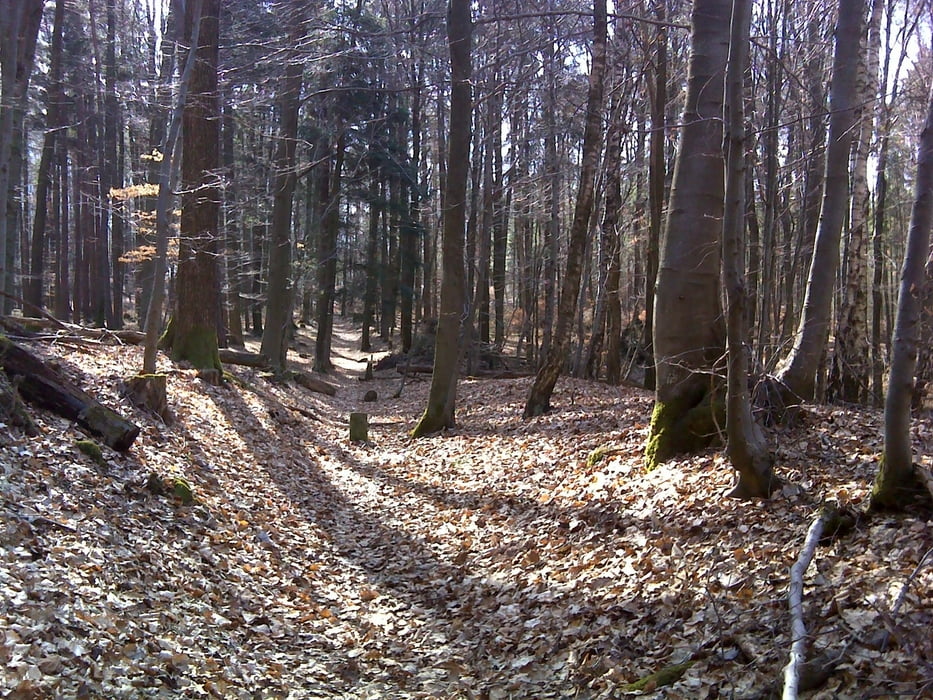
Vom PP Finsterroter See durch den Dachsbach-Wald stets nach N zum Sportplatz Neuhütten. Ab hier auf HW 8 nach Maienfels. Wunderbare Sicht auf Steinknickle und Brettachtal. Steil hinunter nach Brettach. Steil hoch nach Neuwirtshaus. Ab hier immer in südlicher Richtung auf Limeswanderweg, z.T. abenteuerlich steil hinunter und hinauf durch Klingen nach Mainhardt. Dort Besichtigung Röm. Kastell. Auf Blauer-Strich-Weg über Ammertsweiler zurück zum PP. Wunderschöne Tour mit Fernsicht auf die Höhen im Schwäbisch Fränkischen Wald.
Further information at
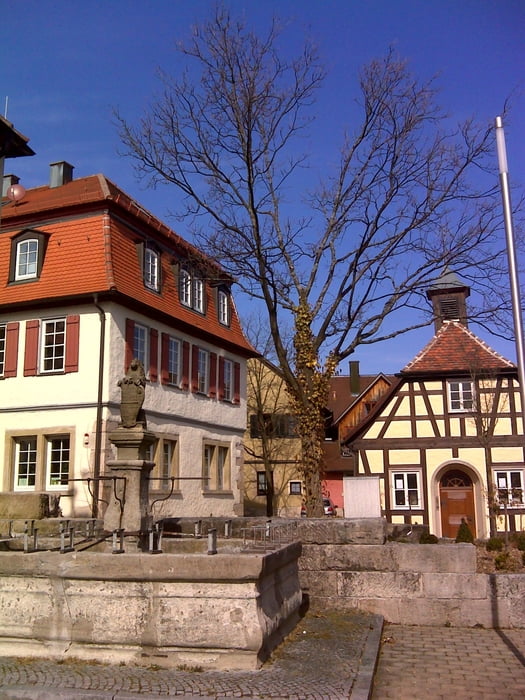
http://www.mainhardt.de/limes-lehrpfad/Galerija izletov


Zemljevid in višinski profil izleta
Minimum height 277 m
Maximum height 520 m
More about the tour author
|
|
rockydoc |
Komentarji

Auf B39 Löwenstein - Schwäbisch Hall am Ortsende Finsterrot links abbiegen (Hinweisschild Finsterroter See). Nach der Wanderung empfiehlt sich ein Besuch des Sees mit Einkehr im Kiosk.
Poti GPS
Trackpoints-
GPX / Garmin Map Source (gpx) download
-
TCX / Garmin Training Center® (tcx) download
-
CRS / Garmin Training Center® (crs) download
-
Google Earth (kml) download
-
G7ToWin (g7t) download
-
TTQV (trk) download
-
Overlay (ovl) download
-
Fugawi (txt) download
-
Kompass (DAV) Track (tk) download
-
List z izleti (pdf) download
-
Original file of the author (gpx) download
More about the tour author
|
|
rockydoc |
Add to my favorites
Remove from my favorites
Edit tags
Open track
My score
Rate