Login

Si pozabil/a podatke za prijavo?

Cookies have to be accepted!
Your browser's cookie functionality is disabled. Please enable this functionality.

Not a member yet?

Register now
Login

Available for registred users only

Log in to use this feature.

Si pozabil/a podatke za prijavo?

Cookies have to be accepted!
Your browser's cookie functionality is disabled. Please enable this functionality.

Not a member yet?

Register now
Filter
Kategorije
Advanced filters
  • Dolžina (km)
  • Metri nadmorske višine
Shrani filter Reset filter

TrackRank

QRCode

Technical data

Dolžina45,2 km Metri nadmorske višine858 m Way down847 m Trajanje02:20 h:m Datum25.03.2012
Ocene Author Pokrajina Dejavnik zabave Kondicija Tehnika

Statistika

236 Pogledi Ocene 30 Prenosi Povprečje
Rate
  • List z izleti
  • Prihod
  • Prenosi
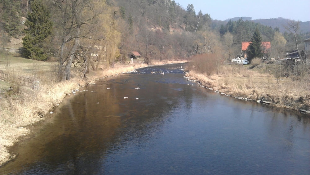
Die Tour beginnt in Eisengraben, führt entlang dem Radweg nach St. Lenhard. Über Thurnberg und Tiefenbach geht es nach Krumau. Von Kurmau geht es bergauf nach Mottingeramt und dann wieder retour nach Eisengraben. Die komplette Strecke ist asphaltiert.

Galerija izletov

Zemljevid in višinski profil izleta

  • Open Street Map
  • Google
Minimum height 353 m Maximum height 621 m Prikaz podrobnosti

More about the tour author

pentit
Member since 2012

Send private message

Komentarji

Poti GPS

Trackpoints
  • GPX / Garmin Map Source (gpx) download
  • TCX / Garmin Training Center® (tcx) download
  • CRS / Garmin Training Center® (crs) download
  • Google Earth (kml) download
  • G7ToWin (g7t) download
  • TTQV (trk) download
  • Overlay (ovl) download
  • Fugawi (txt) download
  • Kompass (DAV) Track (tk) download
  • List z izleti (pdf) download
  • Original file of the author (gpx) download

More about the tour author

pentit
Member since 2012

Send private message
Share track
Add to my favorites
Remove from my favorites
Edit tags
My score
Rate
Izlet: Waldviertelrunde
Vrsta: Gorsko kolo
Dolžina: 45,2 km
Evaluated on:
Trajanje:
Day(s)
Hour(s)
Minute(s)
Ocena: Pokrajina Dejavnik zabave Kondicija Tehnika