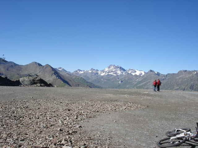
Schwierigkeitsstufe bis 3,8 von 5.
Zemljevid in višinski profil izleta
Minimum height 167 m
Maximum height 2745 m
Komentarji
Start ist in Imst zwischen Fernpass und Rechenpass
Poti GPS
Trackpoints-
GPX / Garmin Map Source (gpx) download
-
TCX / Garmin Training Center® (tcx) download
-
CRS / Garmin Training Center® (crs) download
-
Google Earth (kml) download
-
G7ToWin (g7t) download
-
TTQV (trk) download
-
Overlay (ovl) download
-
Fugawi (txt) download
-
Kompass (DAV) Track (tk) download
-
List z izleti (pdf) download
-
Original file of the author (gpx) download
Add to my favorites
Remove from my favorites
Edit tags
Open track
My score
Rate


Etappen
Wie sind denn die einzelnen Etappen dieser Tour?
Leider geht die Nachrichtenfunktion nicht..
Danke