Login

Si pozabil/a podatke za prijavo?

Cookies have to be accepted!
Your browser's cookie functionality is disabled. Please enable this functionality.

Not a member yet?

Register now
Login

Available for registred users only

Log in to use this feature.

Si pozabil/a podatke za prijavo?

Cookies have to be accepted!
Your browser's cookie functionality is disabled. Please enable this functionality.

Not a member yet?

Register now
Filter
Kategorije
Advanced filters
  • Dolžina (km)
  • Metri nadmorske višine
Shrani filter Reset filter

TrackRank

QRCode

Technical data

Dolžina28,5 km Metri nadmorske višine252 m Way down220 m Trajanje06:35 h:m Datum03.04.2012
Ocene Author Pokrajina Dejavnik zabave Kondicija Tehnika

Statistika

759 Pogledi Ocene 15 Prenosi Povprečje
Rate
  • List z izleti
  • Prihod
  • Prenosi
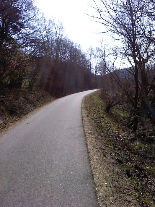
Schöne Tour durch die belgische Eifel.Diese Tour geht überwiegend über den Ravelweg von Malmedy bis Sankt-Vith.Man hat genügend Rastmöglichkeiten.

Further information at

http://www.zuraltenschmiede.be

Galerija izletov

Zemljevid in višinski profil izleta

  • Open Street Map
  • Google
Minimum height 381 m Maximum height 521 m Prikaz podrobnosti

More about the tour author

Wanderfrosch1960
Member since 2012

Send private message

Komentarji

Sie starten am alten Bahnhof in Malmedy,wo gute Parkmöglichkeiten sind.Da sind Sie auch direkt an dem Ravelweg.Der Rückweg nach Malmedy muss vorher geplant sein.

Poti GPS

Trackpoints
  • GPX / Garmin Map Source (gpx) download
  • TCX / Garmin Training Center® (tcx) download
  • CRS / Garmin Training Center® (crs) download
  • Google Earth (kml) download
  • G7ToWin (g7t) download
  • TTQV (trk) download
  • Overlay (ovl) download
  • Fugawi (txt) download
  • Kompass (DAV) Track (tk) download
  • List z izleti (pdf) download
  • Original file of the author (gpx) download

More about the tour author

Wanderfrosch1960
Member since 2012

Send private message
Share track
Add to my favorites
Remove from my favorites
Edit tags
My score
Rate
Izlet: Malmedy-St.Vith
Vrsta: Pešačenje
Dolžina: 28,5 km
Evaluated on:
Trajanje:
Day(s)
Hour(s)
Minute(s)
Ocena: Pokrajina Dejavnik zabave Kondicija Tehnika